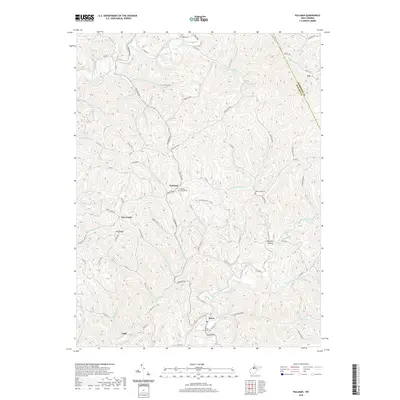
2019 Map of Pullman
USGS Topo · Published 2019About this map
Pullman serves as a central hub in this West Virginia landscape, where small rural settlements are linked by winding roads like Auburn Rd and Pullman Rd. The geography is defined by a dense network of waterways, most notably the North Fork Hughes River in the north and the South Fork Hughes River to the south. These forks, along with tributaries like Slab Creek and White Oak Creek, have long dictated the placement of communities such as Berea and Slab.
Find a feature on this map
86 named features on this map. Tap any name to fly to it.
Don’t see what you’re looking for? This feature index may not catch every label — zoom into the map to look around manually.
Map Details
Editions of this 2019 Pullman Map
This is the sole edition of this map. No revisions or reprints were ever made.
Other maps of this area

1905 · West Union
USGS Topo · 1:62,500

1906 · Saint Marys
USGS Topo · 1:62,500

1906 · Holbrook
USGS Topo · 1:62,500

1907 · Harrisville
USGS Topo · 1:62,500

1924 · St Marys
USGS Topo · 1:62,500

1924 · Harrisville
USGS Topo · 1:62,500

1924 · West Union
USGS Topo · 1:62,500

1924 · Holbrook
USGS Topo · 1:62,500

1926 · Harrisville
USGS Topo · 1:62,500

1926 · Holbrook
USGS Topo · 1:62,500