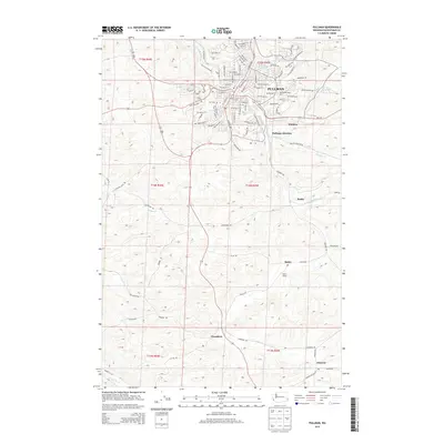
2013 Map of Pullman
USGS Topo · Published 2013About this map
Washington State University and its sprawling campus dominate the northern landscape of this region, which is defined by the rolling agricultural terrain of the Palouse. The city of Pullman serves as the central hub, where the confluence of Paradise Creek and the South Fork Palouse River shaped early development patterns. South of the city, the landscape transitions into a network of smaller agricultural outposts and rail-connected points like Staley, where the Staley Siding once anchored local transport. The map traces the winding paths of Sunshine Creek and Wilbur Creek, which cut through the fields of Missouri Flat. Further south, the rural character is maintained by scattered settlements such as Chambers and Johnson, illustrating the enduring agricultural footprint of Whitman County at the start of the 21st century.
Find a feature on this map
103 named features on this map. Tap any name to fly to it.
Don’t see what you’re looking for? This feature index may not catch every label — zoom into the map to look around manually.
Map Details
Editions of this 2013 Pullman Map
This is the sole edition of this map. No revisions or reprints were ever made.
Other maps of this area
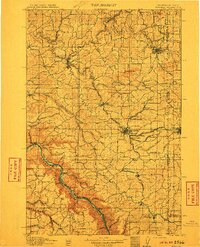
1910 · Pullman
USGS Topo · 1:125,000
1955 · Pullman
USGS Topo · 1:250,000
1958 · Pullman
USGS Topo · 1:250,000
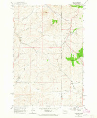
1964 · Viola
USGS Topo · 1:24,000
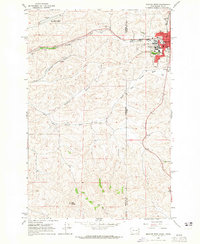
1964 · Moscow West
USGS Topo · 1:24,000
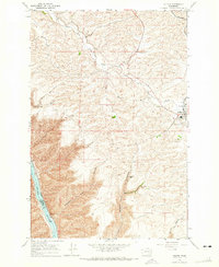
1964 · Colton
USGS Topo · 1:24,000
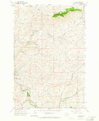
1964 · Albion
USGS Topo · 1:24,000
1964 · Colfax South
USGS Topo · 1:24,000
1964 · Ewartsville
USGS Topo · 1:24,000
1964 · Bishop
USGS Topo · 1:24,000