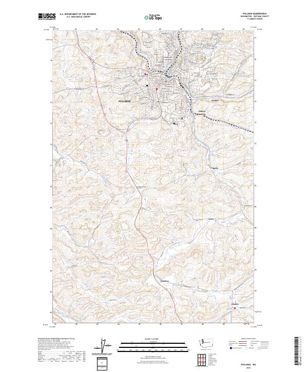
2023 Map of Pullman
USGS Topo · Published 2023About this map
Washington State University and the city of Pullman anchor the northern landscape of this Whitman County survey, where the South Fork Palouse River and Paradise Creek converge. The topography is defined by the region’s characteristic rolling hills and loess-covered plateaus, with drainages like Missouri Flat Creek and Sunshine Creek cutting through the agricultural terrain. Significant local history is preserved in the placement of the Pullman City Cem, Odd Fellows Cem, and Farr Cem, which sit atop the rises overlooking the town.
Find a feature on this map
114 named features on this map. Tap any name to fly to it.
Don’t see what you’re looking for? This feature index may not catch every label — zoom into the map to look around manually.
Map Details
Editions of this 2023 Pullman Map
This is the sole edition of this map. No revisions or reprints were ever made.
Other maps of this area

1910 · Pullman
USGS Topo · 1:125,000

1955 · Pullman
USGS Topo · 1:250,000

1958 · Pullman
USGS Topo · 1:250,000

1964 · Viola
USGS Topo · 1:24,000

1964 · Moscow West
USGS Topo · 1:24,000

1964 · Colton
USGS Topo · 1:24,000
1964 · Albion
USGS Topo · 1:24,000

1964 · Colfax South
USGS Topo · 1:24,000

1964 · Ewartsville
USGS Topo · 1:24,000

1964 · Bishop
USGS Topo · 1:24,000