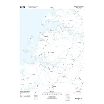
2013 Map of Pungoteague
USGS Topo · Published 2013About this map
The complex shoreline of the Chesapeake Bay defines this portion of the Eastern Shore, where the land is fragmented into numerous necks and points by tidal inlets. Communities like Harborton and Pungoteague anchor the local geography, connected by a network of rural roads that navigate around significant water bodies such as Onancock Creek and Matchotank Creek. The presence of Evans Wharf and Boggs Wharf along the Pungoteague Creek shoreline suggests the continuing importance of maritime access in this region, while inland sites like Dinglers Mill and the aptly named Little Hell provide specific points of interest for local history and genealogy.
Find a feature on this map
145 named features on this map. Tap any name to fly to it.
Don’t see what you’re looking for? This feature index may not catch every label — zoom into the map to look around manually.
Map Details
Editions of this 2013 Pungoteague Map
This is the sole edition of this map. No revisions or reprints were ever made.
Other maps of this area

1903 · Crisfield
USGS Topo · 1:62,500

1920 · Crisfield
USGS Topo · 1:62,500

1931 · Accomac
USGS Topo · 1:48,000

1935 · Accomac
USGS Topo · 1:62,500

1942 · Chesconessex
USGS Topo · 1:31,680

1942 · Nandua Creek
USGS Topo · 1:24,000

1942 · Tangier Island
USGS Topo · 1:24,000

1942 · Parksley
USGS Topo · 1:24,000

1943 · Jamesville
USGS Topo · 1:31,680

1943 · Pungoteague
USGS Topo · 1:31,680