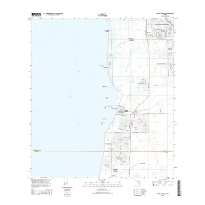
2015 Map of Punta Gorda SE
USGS Topo · Published 2015About this map
Burnt Store Marina serves as a prominent coastal landmark on this 2015 survey, anchoring the shoreline where residential developments meet the eastern reaches of Charlotte Harbor. The landscape is a complex network of coastal islands and keys, including Silcox Key, Redfish Key, and Cormorant Key, alongside inland water features like Whidden Branch and the John Quiet Lakes.
Find a feature on this map
107 named features on this map. Tap any name to fly to it.
Don’t see what you’re looking for? This feature index may not catch every label — zoom into the map to look around manually.
Map Details
Editions of this 2015 Punta Gorda SE Map
This is the sole edition of this map. No revisions or reprints were ever made.
Other maps of this area

1956 · Cleveland
USGS Topo · 1:24,000

1956 · Punta Gorda SE
USGS Topo · 1:24,000

1956 · West Palm Beach
USGS Topo · 1:250,000

1956 · Tampa
USGS Topo · 1:250,000

1956 · Charlotte Harbor
USGS Topo · 1:250,000

1957 · West Palm Beach
USGS Topo · 1:250,000

1957 · El Jobean
USGS Topo · 1:24,000

1957 · Punta Gorda SW
USGS Topo · 1:24,000

1957 · Punta Gorda
USGS Topo · 1:24,000

1957 · Gilchrist
USGS Topo · 1:24,000