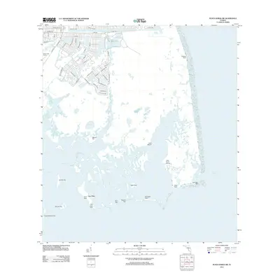
2012 Map of Punta Gorda SW
USGS Topo · Published 2012About this map
Cayo Pelau and the surrounding labyrinth of keys define this intricate coastal landscape where the waters of Gasparilla Sound meet Charlotte Harbor. This 2012 survey illustrates the transition from the planned residential developments of the Rotonda area, characterized by streets like Rotonda Trl and Gasparilla Rd, to the nearly untouched aquatic preserve to the south. The presence of several archaeologically significant features, including Mound Key, Cash Mound, and John Quiet Mound, suggests a long history of indigenous habitation and site use prior to modern mapping.
Find a feature on this map
65 named features on this map. Tap any name to fly to it.
Don’t see what you’re looking for? This feature index may not catch every label — zoom into the map to look around manually.
Map Details
Editions of this 2012 Punta Gorda SW Map
This is the sole edition of this map. No revisions or reprints were ever made.
Other maps of this area

1956 · Punta Gorda SE
USGS Topo · 1:24,000

1956 · Englewood
USGS Topo · 1:24,000

1956 · Tampa
USGS Topo · 1:250,000

1956 · Charlotte Harbor
USGS Topo · 1:250,000

1957 · El Jobean
USGS Topo · 1:24,000

1957 · Punta Gorda SW
USGS Topo · 1:24,000

1957 · Punta Gorda
USGS Topo · 1:24,000

1957 · Placida
USGS Topo · 1:24,000

1958 · Matlacha
USGS Topo · 1:24,000

1958 · Port Boca Grande
USGS Topo · 1:24,000