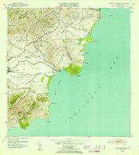
1952 Map of Punta Guayanes
USGS Topo · Published 1953About this map
The Valle de Yabucoa dominates this 1952 coastal survey, revealing a landscape defined by Puerto Rico’s sugar industry and rural communities. At the heart of the alluvial plain sits Central Roig, a vital industrial anchor connected to the surrounding agricultural fields. The coastline is marked by several prominent headlands, including Punta Guayanes and Morro de Humacao, which shield the Puerto Yabucoa and the fishing village at Playa de Guayanes. In the interior, established agricultural settlements like Colonia Monserrate and Parcelas Comunas sit along the Rio Guayanes. The map provides a precise record of the road network and land divisions within the barrios of Aguacate, Tejas, and Camino Nuevo, capturing the region shortly after the post-war industrialization era began but while its agrarian roots remained clearly visible.
Find a feature on this map
37 named features on this map. Tap any name to fly to it.
Don’t see what you’re looking for? This feature index may not catch every label — zoom into the map to look around manually.
Map Details
Editions of this 1952 Punta Guayanes Map
2 editions found
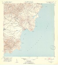
Other maps of this area

1945 · Punta Tuna
USGS Topo · 1:30,000

1946 · Humacao
USGS Topo · 1:30,000

1946 · Punta Guayanes
USGS Topo · 1:30,000

1946 · Juncos
USGS Topo · 1:30,000

1946 · Yabucoa
USGS Topo · 1:30,000
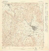
1947 · Humacao SO
USGS Topo · 1:10,000
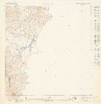
1947 · Punta Guayanes NE
USGS Topo · 1:10,000
1947 · Yabucoa SE
USGS Topo · 1:10,000
1947 · Punta Guayanes NO
USGS Topo · 1:10,000
1947 · Punta Tuna NE
USGS Topo · 1:10,000
Featured Places
- Urbanización Arboleda, Humacao
- Mar y Palmas, Humacao
- Palladio, Humacao
- Sector Soto Monte, Yabucoa
- Sector El Guano, Yabucoa