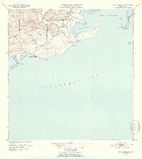
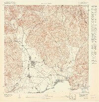
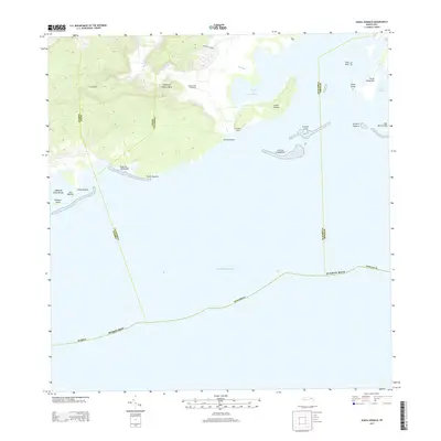
1952 Map of Punta Verraco
USGS Topo · Published 1953About this map
The industrial and coastal life of southwest Puerto Rico is defined by the Central San Francisco sugar mill, situated near the mouth of the Río Yauco. This mid-century coastal survey reveals the intricate administrative divisions of the era, delineating the boundaries of Barrio Indio, Barrio Rufina, and Barrio Susua Baja. The settlement pattern shows small clusters such as Parcelas Barrio Indio and La Covana, reflecting the rural and agricultural organization of the early 1950s.
Find a feature on this map
29 named features on this map. Tap any name to fly to it.
Don’t see what you’re looking for? This feature index may not catch every label — zoom into the map to look around manually.
Map Details
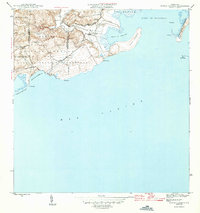
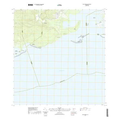
Editions of this 1952 Punta Verraco Map
2 editions found
Historical Maps of Yauco Through Time
10 maps found
1946 Punta Verraco
Guayanilla Municipio, PR
1947 Punta Verraco NE
Guayanilla Municipio, PR
1947 Yauco NE
Guayanilla Municipio, PR
1947 Yauco SE
Guayanilla Municipio, PR
1952 Punta Verraco
Guayanilla Municipio, PR
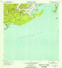
1958 Punta Verraco
Guayanilla Municipio, PR
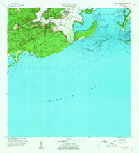
1966 Punta Verraco
Guayanilla Municipio, PR
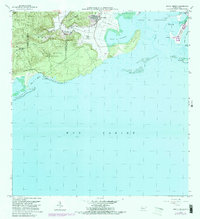
2013 Punta Verraco
Guayanilla Municipio, PR
2018 Punta Verraco
Guayanilla Municipio, PR
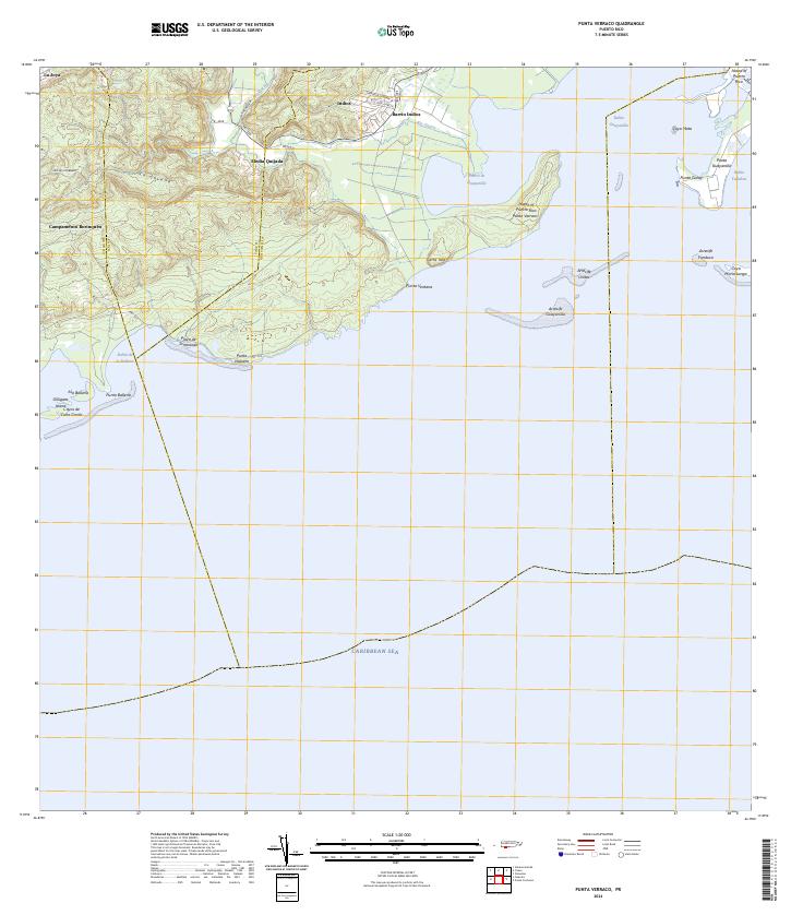
2024 Punta Verraco
Guayanilla Municipio, PR