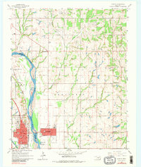
1965 Map of Purcell
USGS Topo · Published 1981About this map
The Canadian River serves as the primary geographical divider in this mid-1960s study, separating the urban centers of Purcell in McClain County from Lexington in Cleveland County. These twin settlements are depicted in detail, with Purcell’s grid showing street names like Apache St and Comanche St alongside the Atchison Topeka and Santa Fe railroad corridor. Across the river, Lexington’s residential layout and the nearby Landing Field mark the local landscape.
Find a feature on this map
57 named features on this map. Tap any name to fly to it.
Don’t see what you’re looking for? This feature index may not catch every label — zoom into the map to look around manually.
Map Details
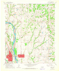
Editions of this 1965 Purcell Map
2 editions found
Other maps of this area

1893 · Norman
USGS Topo · 1:62,500

1898 · Purcell
USGS Topo · 1:125,000

1898 · Pauls Valley
USGS Topo · 1:125,000

1902 · Pauls Valley
USGS Topo · 1:125,000

1910 · McComb
USGS Topo · 1:62,500

1925 · Norman NO 2
USGS Topo · 1:24,000

1936 · Norman
USGS Topo · 1:62,500

1954 · Oklahoma City
USGS Topo · 1:250,000

1957 · Ardmore
USGS Topo · 1:250,000

1957 · Oklahoma City
USGS Topo · 1:250,000