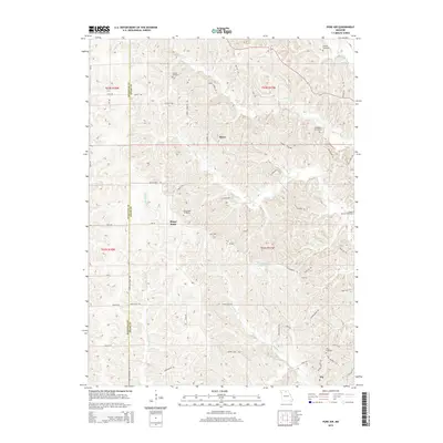
2015 Map of Pure Air
USGS Topo · Published 2015About this map
Ringo Point and the small settlement of Pure Air anchor this rural landscape along the border of Sullivan and Adair Counties. The area is defined by a dense network of country roads and family-named trails, such as Husky Trl and Loeffler Store Trl, which connect isolated homesteads and local landmarks. The terrain is deeply dissected by waterways including Little Mussel Cr, Billy Cr, and Walnut Cr, creating a complex topography of ridges and draws.
Find a feature on this map
58 named features on this map. Tap any name to fly to it.
Don’t see what you’re looking for? This feature index may not catch every label — zoom into the map to look around manually.
Map Details
Editions of this 2015 Pure Air Map
This is the sole edition of this map. No revisions or reprints were ever made.
Other maps of this area

1911 · Queen City
USGS Topo · 1:62,500

1912 · Green City
USGS Topo · 1:62,500

1913 · Queen City
USGS Topo · 1:62,500

1914 · Green City
USGS Topo · 1:62,500

1938 · Kirksville
USGS Topo · 1:62,500

1940 · Kirksville
USGS Topo · 1:62,500

1954 · Centerville
USGS Topo · 1:250,000

1957 · Centerville
USGS Topo · 1:250,000

1958 · Centerville
USGS Topo · 1:250,000

1963 · Pure Air
USGS Topo · 1:24,000