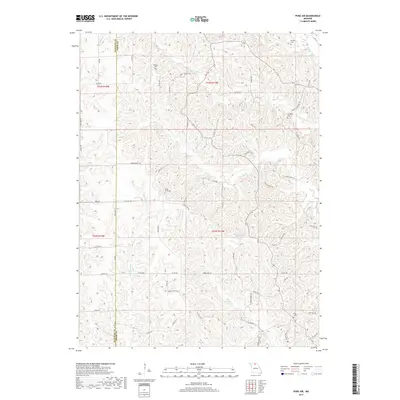
2017 Map of Pure Air
USGS Topo · Published 2017About this map
The settlement of Pure Air sits atop the high ground of the Missouri hills, serving as a central point in this rural landscape divided by the Sullivan Co and Adair Co boundary. The topography is defined by an intricate network of drainage, where Little Mussel Creek, Billy Creek, and Walnut Creek carve deep valleys into the terrain. This drainage pattern dictates the historical placement of roads and trails, which often follow the ridgelines or traverse the narrow creek bottoms.
Find a feature on this map
70 named features on this map. Tap any name to fly to it.
Don’t see what you’re looking for? This feature index may not catch every label — zoom into the map to look around manually.
Map Details
Editions of this 2017 Pure Air Map
This is the sole edition of this map. No revisions or reprints were ever made.
Other maps of this area

1911 · Queen City
USGS Topo · 1:62,500

1912 · Green City
USGS Topo · 1:62,500

1913 · Queen City
USGS Topo · 1:62,500

1914 · Green City
USGS Topo · 1:62,500

1938 · Kirksville
USGS Topo · 1:62,500

1940 · Kirksville
USGS Topo · 1:62,500

1954 · Centerville
USGS Topo · 1:250,000

1957 · Centerville
USGS Topo · 1:250,000

1958 · Centerville
USGS Topo · 1:250,000

1963 · Pure Air
USGS Topo · 1:24,000