
1964 Map of Purvis
USGS Topo · Published 1965About this map
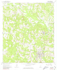
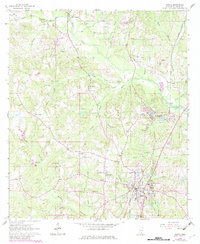
The town of Purvis serves as the focal point of this mid-1960s survey of Lamar County, showing a landscape defined by the intersection of the Southern RR railroad and several local waterways. The southern portion of the map reveals the town's early infrastructure, including a High Sch, water tank, and sewage disposal ponds. Industrial activity is evident in the northeast near Okahola, where the Black Creek Refinery and various Gravel Pits indicate a reliance on natural resources and processing during this era.
Find a feature on this map
58 named features on this map. Tap any name to fly to it.
Don’t see what you’re looking for? This feature index may not catch every label — zoom into the map to look around manually.
Map Details
Editions of this 1964 Purvis Map
3 editions found
Other maps of this area

1953 · Hattiesburg
USGS Topo · 1:250,000

1958 · Hattiesburg
USGS Topo · 1:250,000

1963 · Rock Hill
USGS Topo · 1:24,000

1964 · Hattiesburg
USGS Topo · 1:24,000

1964 · Lumberton
USGS Topo · 1:24,000

1965 · Hattiesburg SW
USGS Topo · 1:24,000

1965 · Dixie
USGS Topo · 1:24,000
1969 · Baxterville
USGS Topo · 1:24,000

1969 · Baxterville NE
USGS Topo · 1:24,000

1974 · Oloh
USGS Topo · 1:24,000