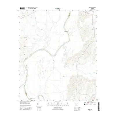
2014 Map of Putnam
USGS Topo · Published 2014About this map
The Tombigbee River serves as the winding boundary between Choctaw and Marengo counties, shaping a landscape defined by dramatic river bends and extensive creek systems. Near the northern edge, the river creates Pearsons Shoal, while further south it forms the deep loop of Jacksons Bend. The settlement of Putnam is situated in the southeastern portion of the map, serving as a local hub connected by Al-69.
Find a feature on this map
43 named features on this map. Tap any name to fly to it.
Don’t see what you’re looking for? This feature index may not catch every label — zoom into the map to look around manually.
Map Details
Editions of this 2014 Putnam Map
This is the sole edition of this map. No revisions or reprints were ever made.
Other maps of this area

1953 · Montgomery
USGS Topo · 1:250,000

1953 · Andalusia
USGS Topo · 1:250,000

1953 · Hattiesburg
USGS Topo · 1:250,000

1953 · Meridian
USGS Topo · 1:250,000

1956 · Montgomery
USGS Topo · 1:250,000

1957 · Meridian
USGS Topo · 1:250,000

1957 · Montgomery
USGS Topo · 1:250,000

1957 · Andalusia
USGS Topo · 1:250,000

1958 · Hattiesburg
USGS Topo · 1:250,000

1965 · Meridian
USGS Topo · 1:250,000