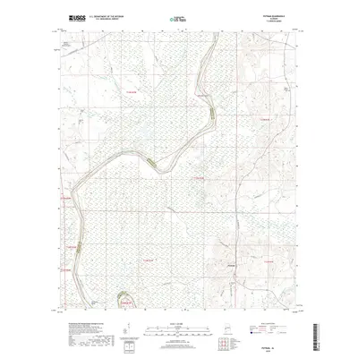
2018 Map of Putnam
USGS Topo · Published 2018About this map
Putnam sits at the intersection of AL Highway 69 and Co Hwy 4 in western Alabama, serving as a focal point for this landscape along the border of Marengo and Choctaw counties. The terrain is defined by the winding course of the Tombigbee River system, notably around Jacksons Bend and the broader waters of Coffeeville Lake. This 2018 survey reveals a rural character shaped by numerous waterways like Cotalohoma Creek and Sugarbowa Cr, which drain into the river valley. For those researching local families, several established burial grounds are documented, including Putnam Cem, White Cem, and Mount Mariah Cem. The inclusion of the Butler-Choctaw County Airport in the northwest corner highlights the modern infrastructure supporting this timber and river-dependent region.
Find a feature on this map
45 named features on this map. Tap any name to fly to it.
Don’t see what you’re looking for? This feature index may not catch every label — zoom into the map to look around manually.
Map Details
Editions of this 2018 Putnam Map
This is the sole edition of this map. No revisions or reprints were ever made.
Other maps of this area

1953 · Montgomery
USGS Topo · 1:250,000

1953 · Andalusia
USGS Topo · 1:250,000

1953 · Hattiesburg
USGS Topo · 1:250,000

1953 · Meridian
USGS Topo · 1:250,000

1956 · Montgomery
USGS Topo · 1:250,000

1957 · Meridian
USGS Topo · 1:250,000

1957 · Montgomery
USGS Topo · 1:250,000

1957 · Andalusia
USGS Topo · 1:250,000

1958 · Hattiesburg
USGS Topo · 1:250,000

1965 · Meridian
USGS Topo · 1:250,000