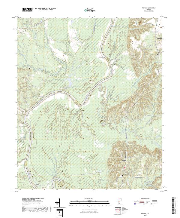
2024 Map of Putnam
USGS Topo · Published 2024About this map
The Tombigbee River forms a winding corridor along the boundary of Choctaw and Marengo counties, carving through a landscape defined by significant bends and navigation points like Jacksons Bend and Pearsons Shoal. This riverine environment is the focal point of the region's geography, where historic crossings like Gays Ferry once connected the rural communities. The area is characterized by numerous watercourses, including Hurricane Creek and Sugarbow a Creek, which drain into the main river valley.
Find a feature on this map
46 named features on this map. Tap any name to fly to it.
Don’t see what you’re looking for? This feature index may not catch every label — zoom into the map to look around manually.
Map Details
Editions of this 2024 Putnam Map
This is the sole edition of this map. No revisions or reprints were ever made.
Other maps of this area

1953 · Montgomery
USGS Topo · 1:250,000

1953 · Andalusia
USGS Topo · 1:250,000

1953 · Hattiesburg
USGS Topo · 1:250,000

1953 · Meridian
USGS Topo · 1:250,000

1956 · Montgomery
USGS Topo · 1:250,000

1957 · Meridian
USGS Topo · 1:250,000

1957 · Montgomery
USGS Topo · 1:250,000

1957 · Andalusia
USGS Topo · 1:250,000

1958 · Hattiesburg
USGS Topo · 1:250,000

1965 · Meridian
USGS Topo · 1:250,000