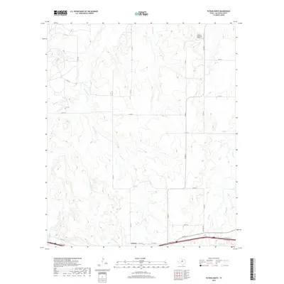
2019 Map of Putnam North
USGS Topo · Published 2019About this map
Putnam anchors the southern edge of this West Texas landscape, where the terrain is defined by a dense network of seasonal creek drainages that carve through Callahan County. Historically significant landmarks for genealogists include the Hart Cem, located in the western reaches near the banks of Sheep Cr. The survey illustrates a shift from traditional ranching lands toward modern infrastructure, as seen with the Mission Mountain Airport in the northeast and the heavy corridor of Interstate 20 and its access roads cutting through the south.
Find a feature on this map
31 named features on this map. Tap any name to fly to it.
Don’t see what you’re looking for? This feature index may not catch every label — zoom into the map to look around manually.
Map Details
Editions of this 2019 Putnam North Map
This is the sole edition of this map. No revisions or reprints were ever made.
Other maps of this area
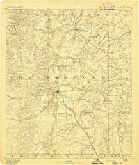
1892 · Albany
USGS Topo · 1:125,000
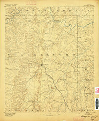
1893 · Albany
USGS Topo · 1:125,000
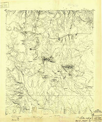
1931 · Baird
USGS Topo · 1:125,000
1932 · Baird
USGS Topo · 1:125,000
1954 · Abilene
USGS Topo · 1:250,000
1958 · Abilene
USGS Topo · 1:250,000
1965 · Snyder Lake
USGS Topo · 1:24,000
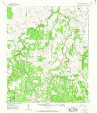
1965 · Indian Knoll
USGS Topo · 1:24,000
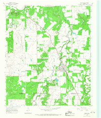
1965 · Moran
USGS Topo · 1:24,000
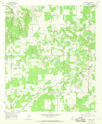
1966 · Scranton
USGS Topo · 1:24,000