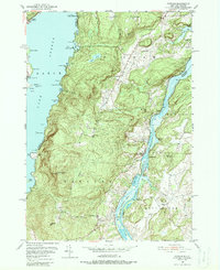
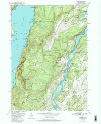
1950 Map of Putnam
USGS Topo · Published 1988About this map
Lake George and Lake Champlain define this Adirondack Park landscape, separated by the steep elevations of Spruce Mtn and Hogback Mtn. During the mid-twentieth century, this corridor was characterized by a mix of summer recreation and established rail-dependent settlements. The Delaware And Hudson railroad traces the western shore of Lake Champlain, serving the communities of Putnam Sta and Dresden. Along the shoreline, established summer camps like Camp Sagamore and Camp Mohican sit near the Arcady Country Club, illustrating the area's development as a seasonal retreat.
Find a feature on this map
72 named features on this map. Tap any name to fly to it.
Don’t see what you’re looking for? This feature index may not catch every label — zoom into the map to look around manually.
Map Details
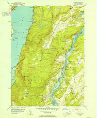
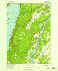
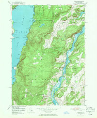
Editions of this 1950 Putnam Map
5 editions found
Other maps of this area

1893 · Whitehall
USGS Topo · 1:62,500

1894 · Ticonderoga
USGS Topo · 1:62,500

1895 · Whitehall
USGS Topo · 1:62,500

1895 · Paradox Lake
USGS Topo · 1:62,500

1896 · Ticonderoga
USGS Topo · 1:62,500

1897 · Bolton
USGS Topo · 1:62,500

1897 · Paradox Lake
USGS Topo · 1:62,500

1898 · Whitehall
USGS Topo · 1:62,500

1900 · Bolton
USGS Topo · 1:62,500

1902 · Whitehall
USGS Topo · 1:62,500