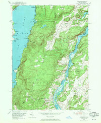
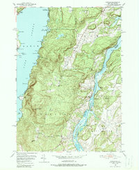
1950 Map of Putnam
USGS Topo · Published 1971About this map
Lake George and Lake Champlain dominate the eastern and western margins of this mid-century survey, defining the thin strip of land known as Putnam and Dresden. The landscape between these major waterways is a network of ridges and summits, including Spruce Mtn and Hogback Mtn, punctuated by an Airway Beacon that served as a modern navigational aid in the post-war era.
Find a feature on this map
72 named features on this map. Tap any name to fly to it.
Don’t see what you’re looking for? This feature index may not catch every label — zoom into the map to look around manually.
Map Details
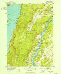
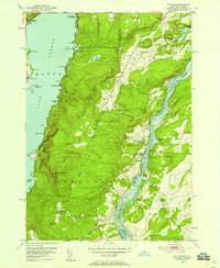
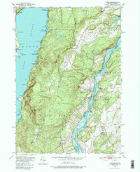
Editions of this 1950 Putnam Map
5 editions found
Other maps of this area

1893 · Whitehall
USGS Topo · 1:62,500

1894 · Ticonderoga
USGS Topo · 1:62,500

1895 · Whitehall
USGS Topo · 1:62,500

1895 · Paradox Lake
USGS Topo · 1:62,500

1896 · Ticonderoga
USGS Topo · 1:62,500

1897 · Bolton
USGS Topo · 1:62,500

1897 · Paradox Lake
USGS Topo · 1:62,500

1898 · Whitehall
USGS Topo · 1:62,500

1900 · Bolton
USGS Topo · 1:62,500

1902 · Whitehall
USGS Topo · 1:62,500