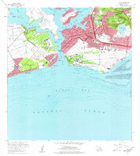
1968 Map of Puuloa
USGS Topo · Published 1977About this map
Pearl Harbor dominates this coastal landscape, serving as a massive hub of military and aviation activity during the late 1960s. The water is divided into several sections, including West Loch, Middle Loch, and East Loch, with the iconic USS Arizona and USS Utah resting near Ford Island. Along the shoreline, Hickam Air Force Base and the Honolulu International Airport show significant development, with runways stretching toward Keehi Lagoon.
Find a feature on this map
73 named features on this map. Tap any name to fly to it.
Don’t see what you’re looking for? This feature index may not catch every label — zoom into the map to look around manually.
Map Details
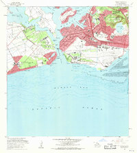
Editions of this 1968 Puuloa Map
2 editions found
Other maps of this area

1953 · Schofield Barracks
USGS Topo · 1:24,000

1953 · Honolulu
USGS Topo · 1:24,000

1953 · Ewa
USGS Topo · 1:24,000

1953 · Puuloa
USGS Topo · 1:24,000

1954 · Oahu
USGS Topo · 1:250,000

1954 · Kaneohe
USGS Topo · 1:24,000

1954 · Waipahu
USGS Topo · 1:24,000

1959 · Kaneohe
USGS Topo · 1:24,000

1959 · Honolulu
USGS Topo · 1:24,000

1959 · Waipahu
USGS Topo · 1:24,000