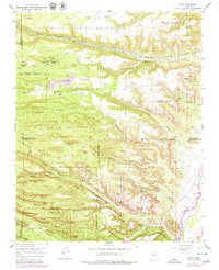
1952 Map of Puye
USGS Topo · Published 1979About this map
Puye Cliff Dwellings and the Cliff Dwellings Indian Ruins anchor this 1952 topographic study, showcasing the ancient and modern Puebloan heritage across the Pajarito Plateau. The landscape is dominated by the deeply incised Santa Clara Canyon and Bayo Canyon, where the drainage patterns of Santa Clara Creek and Guaje Creek flow toward the Rio Grande. Industrial activity is evident in the mid-century extraction at the General Pumice Mine and a Pumice Mine (Aband), highlighting the area's volcanic geology.
Find a feature on this map
50 named features on this map. Tap any name to fly to it.
Don’t see what you’re looking for? This feature index may not catch every label — zoom into the map to look around manually.
Map Details
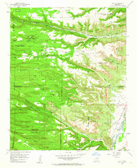
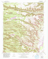
Editions of this 1952 Puye Map
4 editions found
Other maps of this area

1892 · Santa Clara
USGS Topo · 1:125,000

1918 · Abiquiu
USGS Topo · 1:125,000

1952 · White Rock
USGS Topo · 1:24,000

1952 · Frijoles
USGS Topo · 1:24,000

1952 · Puye
USGS Topo · 1:24,000

1952 · Guaje Mountain
USGS Topo · 1:24,000

1953 · Espanola
USGS Topo · 1:24,000

1953 · Chili
USGS Topo · 1:24,000

1953 · Vallecitos
USGS Topo · 1:24,000

1953 · San Juan Pueblo
USGS Topo · 1:24,000