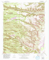
1952 Map of Puye
USGS Topo · Published 1993About this map
Puye Cliff Dwellings and numerous other archaeological sites dominate this landscape, reflecting a long history of habitation along the mesas and canyons of northern New Mexico. The geography is defined by deeply incised drainages including Santa Clara Canyon and Guaje Canyon, which cut through the Otowi Mesa toward the Rio Grande. This mid-century survey, updated in the early 1990s, captures the intersection of ancient history and modern industry. While ancient Cliff Dwellings and ruins are preserved within the Santa Clara Indian Reservation, the southern portion of the map shows the expansion of the Los Alamos National Laboratory. Industrial activity is marked by the Copar Pumice Mine and a Gravel Pit, while transportation infrastructure is anchored by the Otowi Bridge crossing the river near the settlement of Totavi.
Find a feature on this map
45 named features on this map. Tap any name to fly to it.
Don’t see what you’re looking for? This feature index may not catch every label — zoom into the map to look around manually.
Map Details
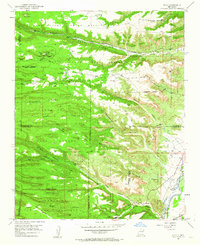
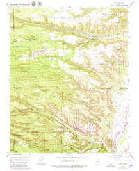
Editions of this 1952 Puye Map
4 editions found
Other maps of this area

1892 · Santa Clara
USGS Topo · 1:125,000

1918 · Abiquiu
USGS Topo · 1:125,000

1952 · White Rock
USGS Topo · 1:24,000

1952 · Frijoles
USGS Topo · 1:24,000

1952 · Puye
USGS Topo · 1:24,000

1952 · Guaje Mountain
USGS Topo · 1:24,000

1953 · Espanola
USGS Topo · 1:24,000

1953 · Chili
USGS Topo · 1:24,000

1953 · Vallecitos
USGS Topo · 1:24,000

1953 · San Juan Pueblo
USGS Topo · 1:24,000