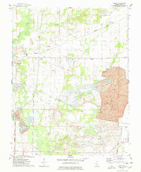
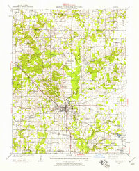
1974 Map of Pyatts
USGS Topo · Published 1978About this map
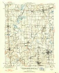
The industrial and agricultural landscape of Perry County is dominated by extensive surface operations, with a massive Strip Mine and multiple Strip Mined Areas carving through the countryside east of Pinckneyville. This 1970s survey reveals a complex network of resource extraction alongside traditional rural life. While the Illinois Central Gulf and Missouri Pacific railroads facilitate the movement of coal, the map preserves the locations of numerous family and community landmarks. Researchers will find several rural centers like Denny and Cudgetown, along with an array of houses of worship including Holts Prairie Ch and Bethel Ch. The terrain is defined by the winding course of Beaucoup Creek and its many tributaries, which weave between mine Tailings and established cemeteries like Pick Cem and Dry Cem, providing a clear picture of the region's mid-century topography and land use.
Find a feature on this map
40 named features on this map. Tap any name to fly to it.
Don’t see what you’re looking for? This feature index may not catch every label — zoom into the map to look around manually.
Map Details
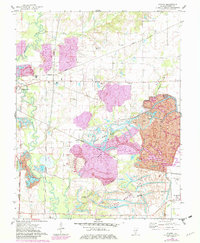
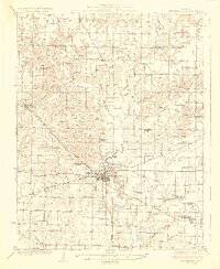
Editions of this 1974 Pyatts Map
2 editions found
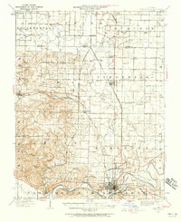
Other maps of this area
1910 · Herrin
USGS Topo · 1:62,500
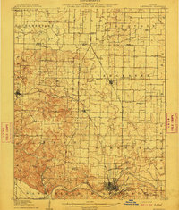
1910 · Murphysboro
USGS Topo · 1:62,500
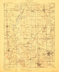
1924 · Pinckneyville
USGS Topo · 1:62,500
1926 · Pinckneyville
USGS Topo · 1:62,500

1926 · Duquoin
USGS Topo · 1:62,500
1936 · Herrin
USGS Topo · 1:62,500
1938 · Murphysboro
USGS Topo · 1:62,500

1949 · Paducah
USGS Topo · 1:250,000

1950 · Paducah
USGS Topo · 1:250,000

1954 · Paducah
USGS Topo · 1:250,000