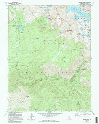
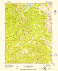
1992 Map of Pyramid Peak
USGS Topo · Published 1994About this map
The Crystal Range dominates this portion of the Eldorado National Forest, where the high-altitude terrain of the Desolation Wilderness reveals a landscape defined by glacial activity and water. The map traces the South Fork of the American River as it winds past the mountain community of Strawberry and the gathering grounds of Sciots Camp. Historic human presence is marked by the Lyons (Site) and various high-country outposts like Upper Forni and Lower Forni.
Find a feature on this map
72 named features on this map. Tap any name to fly to it.
Don’t see what you’re looking for? This feature index may not catch every label — zoom into the map to look around manually.
Map Details
Editions of this 1992 Pyramid Peak Map
2 editions found
Other maps of this area

1889 · Pyramid Peak
USGS Topo · 1:125,000

1891 · Pyramid Peak
USGS Topo · 1:125,000

1895 · Pyramid Peak
USGS Topo · 1:125,000

1896 · Pyramid Peak
USGS Topo · 1:125,000

1947 · Sacramento
USGS Topo · 1:250,000

1948 · Sacramento
USGS Topo · 1:250,000

1951 · Leek Spring Hill
USGS Topo · 1:24,000
1951 · Leek Spring Hill
USGS Topo · 1:62,500
1952 · Kyburz
USGS Topo · 1:24,000
1952 · Loon Lake
USGS Topo · 1:24,000