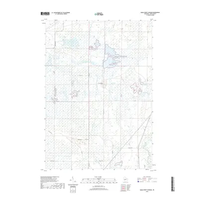
2018 Map of Quail Point Flowage
USGS Topo · Published 2018About this map
Quail Point Flowage and the surrounding wetland systems dominate this 2018 landscape in Wood County, where complex water management is evident through a series of interconnected reservoirs and drainage features. The terrain is largely defined by the presence of South Gallagher Flowage and East Potts Flowage, which are part of a broader network that includes the East Branch Little Yellow River and Remington Ditch. Two prominent topographic markers, North Bluff and South Bluff, provide some of the only significant elevation changes in an otherwise low-lying area. The network of rural roads, such as Kurt Creek Rd and Olson Swanson Ln, provides access to these remote flowages, reflecting the region's focus on water conservation and recreational land use. These features indicate a landscape heavily modified for hydrological control and environmental management near the Yellow River.
Find a feature on this map
26 named features on this map. Tap any name to fly to it.
Don’t see what you’re looking for? This feature index may not catch every label — zoom into the map to look around manually.
Map Details
Editions of this 2018 Quail Point Flowage Map
This is the sole edition of this map. No revisions or reprints were ever made.
Other maps of this area

1953 · Eau Claire
USGS Topo · 1:250,000

1957 · Pittsville
USGS Topo · 1:48,000

1957 · City Point
USGS Topo · 1:48,000

1958 · Eau Claire
USGS Topo · 1:250,000

1958 · Necedah
USGS Topo · 1:48,000

1958 · Wyeville
USGS Topo · 1:48,000

1964 · Eau Claire
USGS Topo · 1:250,000

1967 · Pittsville
USGS Topo · 1:62,500
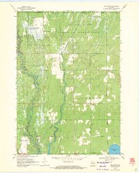
1969 · New Miner
USGS Topo · 1:24,000
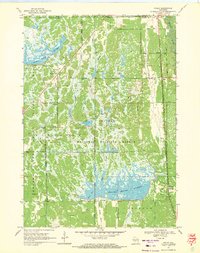
1969 · Finley
USGS Topo · 1:24,000