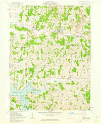
1961 Map of Quaker City
USGS Topo · Published 1963About this map
Quaker City and the surrounding Guernsey and Noble County hillsides are defined by the winding course of Leatherwood Creek and the steel rails of the Baltimore and Ohio railroad. In the early 1960s, this landscape shows a blend of established village life and industrial transition, with Strip Mine operations and Tipples appearing near the tracks at Spencer Station and Salesville. The southern reaches are anchored by the Senecaville Reservoir, managed by the Muskingum Watershed Conservancy District, where the newer development of Lakeland sits near the water's edge.
Find a feature on this map
41 named features on this map. Tap any name to fly to it.
Don’t see what you’re looking for? This feature index may not catch every label — zoom into the map to look around manually.
Map Details
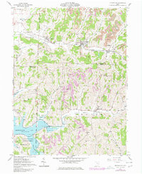
Editions of this 1961 Quaker City Map
2 editions found
Other maps of this area

1903 · Flushing
USGS Topo · 1:62,500

1905 · Woodsfield
USGS Topo · 1:62,500

1905 · Flushing
USGS Topo · 1:62,500

1909 · Antrim
USGS Topo · 1:48,000

1909 · Summerfield
USGS Topo · 1:62,500

1911 · Antrim
USGS Topo · 1:62,500

1911 · Summerfield
USGS Topo · 1:62,500

1949 · Clarksburg
USGS Topo · 1:250,000

1951 · Canton
USGS Topo · 1:250,000

1953 · Canton
USGS Topo · 1:250,000