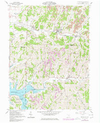
1961 Map of Quaker City
USGS Topo · Published 1977About this map
Quaker City and its neighboring villages serve as the primary nodes of settlement in this landscape of Eastern Ohio, where the legacy of early land divisions is clearly visible. The survey illustrates the complex intersection of historic survey lines, including the West Boundary Old Seven Ranges and the Military District Boundary, which dictate the alignment of modern roads and property lines. The Baltimore and Ohio railroad corridor follows the path of Leatherwood Creek, connecting Salesville and Spencer Station through a valley shaped by both agriculture and industry.
Find a feature on this map
45 named features on this map. Tap any name to fly to it.
Don’t see what you’re looking for? This feature index may not catch every label — zoom into the map to look around manually.
Map Details
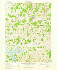
Editions of this 1961 Quaker City Map
2 editions found
Other maps of this area

1903 · Flushing
USGS Topo · 1:62,500

1905 · Woodsfield
USGS Topo · 1:62,500

1905 · Flushing
USGS Topo · 1:62,500

1909 · Antrim
USGS Topo · 1:48,000

1909 · Summerfield
USGS Topo · 1:62,500

1911 · Antrim
USGS Topo · 1:62,500

1911 · Summerfield
USGS Topo · 1:62,500

1949 · Clarksburg
USGS Topo · 1:250,000

1951 · Canton
USGS Topo · 1:250,000

1953 · Canton
USGS Topo · 1:250,000