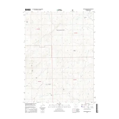
2016 Map of Quaker Mountain
USGS Topo · Published 2016About this map
Routt National Forest dominates much of this high-country landscape, where complex drainage systems define the rugged terrain of northern Colorado. The settlement of Elkhead serves as a primary reference point for researchers tracing local development near the various county roads that traverse the area, including Co RD 56 and Co RD 80. To the north, the elevation rises toward Quaker Mountain and the expansive meadows of California Park, while distinctive geological formations such as Finger Rock and Agner Mtn provide clear landmarks for field study.
Find a feature on this map
30 named features on this map. Tap any name to fly to it.
Don’t see what you’re looking for? This feature index may not catch every label — zoom into the map to look around manually.
Map Details
Editions of this 2016 Quaker Mountain Map
This is the sole edition of this map. No revisions or reprints were ever made.
Other maps of this area

1923 · Elkhead Creek
USGS Topo · 1:62,500

1923 · Pilot Knob
USGS Topo · 1:62,500

1924 · Elkhead Creek
USGS Topo · 1:62,500

1925 · Pilot Knob
USGS Topo · 1:62,500

1954 · Craig
USGS Topo · 1:250,000

1957 · Craig
USGS Topo · 1:250,000

1958 · Craig
USGS Topo · 1:250,000

1960 · Craig
USGS Topo · 1:250,000

1962 · Craig
USGS Topo · 1:250,000
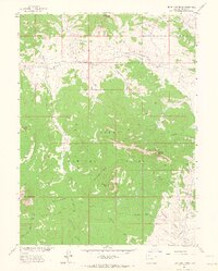
1962 · Bears Ears Peaks
USGS Topo · 1:24,000