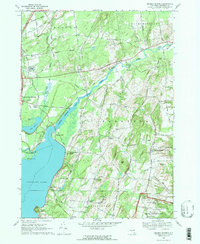
1967 Map of Quaker Springs
USGS Topo · Published 1970About this map
Saratoga Lake dominates the western portion of this 1967 survey, where the Kayaderosseras Cr and Meadow Brook feed into its waters. The landscape reflects a mix of preserved Revolutionary War history and rural development, with the northern edge of the Saratoga National Historical Park featuring prominent memorial sites such as the Breymann Redoubt Overlook and Freeman Farm Overlook. This area is defined by its small crossroads settlements, including Quaker Springs and Ketchums Corners, which illustrate the 19th-century hamlet pattern that persisted into the late 20th century.
Find a feature on this map
69 named features on this map. Tap any name to fly to it.
Don’t see what you’re looking for? This feature index may not catch every label — zoom into the map to look around manually.
Map Details
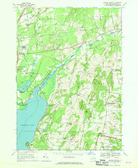
Editions of this 1967 Quaker Springs Map
2 editions found
Other maps of this area

1893 · Cohoes
USGS Topo · 1:62,500

1893 · Schenectady
USGS Topo · 1:62,500

1895 · Cohoes
USGS Topo · 1:62,500

1895 · Schenectady
USGS Topo · 1:62,500

1898 · Schenectady
USGS Topo · 1:62,500

1898 · Cohoes
USGS Topo · 1:62,500

1900 · Schuylerville
USGS Topo · 1:62,500

1902 · Saratoga
USGS Topo · 1:62,500

1929 · Cohoes
USGS Topo · 1:62,500

1930 · Schenectady
USGS Topo · 1:62,500