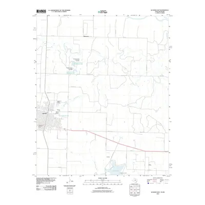
2010 Map of Quanah East
USGS Topo · Published 2010About this map
The town of Quanah serves as the focal point for this landscape, which transitions from the residential streets of the county seat to the outlying ranchlands and oil fields of the Texas Panhandle. The Quanah Acme and Pacific Depot stands as a landmark of the rail infrastructure that once defined local commerce, while the Conley Oil Field to the southeast reflects the ongoing importance of energy extraction. Water management is central to the area's geography, evidenced by a series of reservoirs including Lake Pauline, City of Quanah Lake, and the private lakes of the Quanah Country Club North Lake. Beyond the town limits, the terrain is marked by the winding course of Groesbeck Creek and Spring Creek, eventually reaching the Red River at the northern boundary. Rural life is traced through an extensive network of ranch roads, such as Wilson Ranch Rd and Smith Ranch Rd, which connect the settlement of Willowview to the broader agricultural region.
Find a feature on this map
40 named features on this map. Tap any name to fly to it.
Don’t see what you’re looking for? This feature index may not catch every label — zoom into the map to look around manually.
Map Details
Editions of this 2010 Quanah East Map
This is the sole edition of this map. No revisions or reprints were ever made.
Other maps of this area

1927 · Quanah 3-a
USGS Topo · 1:48,000

1932 · Vivian
USGS Topo · 1:62,500

1955 · Lawton
USGS Topo · 1:250,000

1958 · Medicine Mound
USGS Topo · 1:62,500

1960 · Goodlett
USGS Topo · 1:62,500

1960 · Teacup Mountain
USGS Topo · 1:62,500

1960 · Quanah
USGS Topo · 1:62,500

1975 · Quanah NE
USGS Topo · 1:24,000

1975 · Quanah NW
USGS Topo · 1:24,000

1983 · Big Mound
USGS Topo · 1:24,000