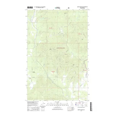
2017 Map of Quartz Mountain
USGS Topo · Published 2017About this map
Kaniksu National Forest defines the geography of this 2017 survey, where a complex network of forest development roads and trails provides access to the high peaks of Bonner County. The landscape is shaped by the drainage of the Priest River and its various tributaries, including the Lower W Br Priest River and Kavanaugh Cr. Near the western edge of the quadrangle, the small settlements of Four Corners and Snow Valley sit along the valley floor, connected by Bear Paw Rd and other local routes.
Find a feature on this map
49 named features on this map. Tap any name to fly to it.
Don’t see what you’re looking for? This feature index may not catch every label — zoom into the map to look around manually.
Map Details
Editions of this 2017 Quartz Mountain Map
This is the sole edition of this map. No revisions or reprints were ever made.
Other maps of this area

1901 · Sandpoint
USGS Topo · 1:125,000

1911 · Priest Lake
USGS Topo · 1:250,000

1911 · Sandpoint
USGS Topo · 1:125,000

1913 · Priest Lake
USGS Topo · 1:250,000

1936 · Newport
USGS Topo · 1:96,000

1942 · Newport
USGS Topo · 1:125,000

1958 · Sandpoint
USGS Topo · 1:250,000

1963 · Sandpoint
USGS Topo · 1:250,000

1967 · Quartz Mtn
USGS Topo · 1:24,000

1967 · Coolin
USGS Topo · 1:24,000