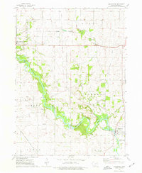
1973 Map of Quasqueton
USGS Topo · Published 1977About this map
The Wapsipinicon River carves a winding path through this Buchanan County landscape, dictating the development of riverside settlements and recreation areas. Near the sharp river curve at Boies Bend, the village of Quasqueton serves as a local focal point, featuring an Old RR Grade and distinctive Sewage Disposal Ponds near its southern edge. The terrain is a mix of agricultural plots and protected areas like Three Elms County Park, while the northern portion of the map includes the eastern edge of Independence with its Hosp and Radio Tower (KOUR).
Find a feature on this map
33 named features on this map. Tap any name to fly to it.
Don’t see what you’re looking for? This feature index may not catch every label — zoom into the map to look around manually.
Map Details
Editions of this 1973 Quasqueton Map
2 editions found
Other maps of this area

1901 · Oelwein
USGS Topo · 1:125,000

1903 · Winthrop
USGS Topo · 1:125,000

1959 · Dubuque
USGS Topo · 1:250,000

1961 · Dubuque
USGS Topo · 1:250,000

1962 · Dubuque
USGS Topo · 1:250,000

1965 · Lamont
USGS Topo · 1:24,000
1973 · Independence
USGS Topo · 1:24,000
1973 · Troy Mills
USGS Topo · 1:24,000
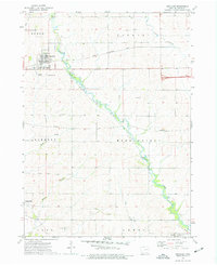
1973 · Winthrop
USGS Topo · 1:24,000
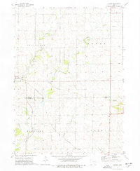
1973 · Cheney
USGS Topo · 1:24,000