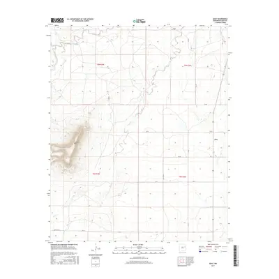
2017 Map of Quay
USGS Topo · Published 2017About this map
Quay sits at the heart of this high plains landscape in eastern New Mexico, where the topography is defined by the prominent Saddleback Mesa to the west. The area's drainage pattern is dominated by seasonal watercourses like Garcia Cr, Bradley Cr, and Charco Cr, which cut through the arid terrain. For genealogists and local historians, the Brown Cem in the north serves as a significant marker of early settlement in this part of Quay County. The map details a systematic grid of rural transit including Quay Road 43 and Quay Road 45, illustrating how ranching and agricultural life are organized around these section lines. This document preserves the modern rural footprint of a community that remains tied to its high-desert landscape and sparse water resources.
Find a feature on this map
21 named features on this map. Tap any name to fly to it.
Don’t see what you’re looking for? This feature index may not catch every label — zoom into the map to look around manually.
Map Details
Editions of this 2017 Quay Map
This is the sole edition of this map. No revisions or reprints were ever made.
Other maps of this area

1930 · Tucumcari
USGS Topo · 1:125,000

1954 · Tucumcari
USGS Topo · 1:250,000

1954 · Clovis
USGS Topo · 1:250,000

1958 · Clovis
USGS Topo · 1:250,000

1958 · Tucumcari
USGS Topo · 1:250,000
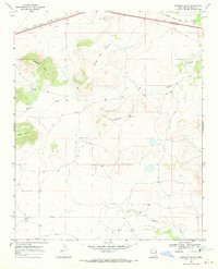
1968 · Quemado Hills
USGS Topo · 1:24,000

1968 · Bulldog Mesa
USGS Topo · 1:24,000
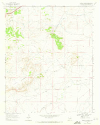
1968 · Briscoe Ranch
USGS Topo · 1:24,000

1970 · Jordan
USGS Topo · 1:24,000

1970 · Quay
USGS Topo · 1:24,000