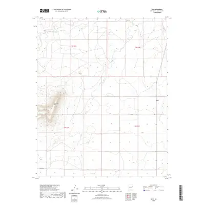
2020 Map of Quay
USGS Topo · Published 2020About this map
Quay serves as the primary point of settlement in this high plains landscape of Quay County. The terrain is defined by dramatic elevations and drainage systems, most notably the prominent Saddleback Mesa which rises above the surrounding flats. Water distribution is marked by several ephemeral and seasonal streams including Garcia Cr, Adobe Walls Cr, and Charco Cr, tracing the natural paths of runoff through the cattle country of eastern New Mexico.
Find a feature on this map
22 named features on this map. Tap any name to fly to it.
Don’t see what you’re looking for? This feature index may not catch every label — zoom into the map to look around manually.
Map Details
Editions of this 2020 Quay Map
This is the sole edition of this map. No revisions or reprints were ever made.
Other maps of this area

1930 · Tucumcari
USGS Topo · 1:125,000

1954 · Tucumcari
USGS Topo · 1:250,000

1954 · Clovis
USGS Topo · 1:250,000

1958 · Clovis
USGS Topo · 1:250,000

1958 · Tucumcari
USGS Topo · 1:250,000
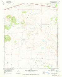
1968 · Quemado Hills
USGS Topo · 1:24,000

1968 · Bulldog Mesa
USGS Topo · 1:24,000
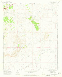
1968 · Briscoe Ranch
USGS Topo · 1:24,000

1970 · Jordan
USGS Topo · 1:24,000

1970 · Quay
USGS Topo · 1:24,000