
1970 Map of Quay
USGS Topo · Published 1973About this map
Quay serves as the focal point of this high-plains landscape, situated along a north-south roadway in eastern New Mexico. The geography is defined by the prominent Saddleback Mesa, which rises sharply above the surrounding drainages of Garcia Creek and Bradley Creek. The settlement pattern reflects the traditional ranching economy of the region, punctuated by a Corral and the Orbeson Windmill, essential infrastructure for managing livestock in this arid environment. For genealogists, the Brown Cem north of Pajarito Creek provides a critical link to the area's early residents. The network of ephemeral watercourses, including Adobe Walls Creek, illustrates the intricate watershed systems that dictate the placement of local homesteads and travel routes across Quay County.
Find a feature on this map
13 named features on this map. Tap any name to fly to it.
Don’t see what you’re looking for? This feature index may not catch every label — zoom into the map to look around manually.
Map Details
Editions of this 1970 Quay Map
This is the sole edition of this map. No revisions or reprints were ever made.
Other maps of this area

1930 · Tucumcari
USGS Topo · 1:125,000

1954 · Tucumcari
USGS Topo · 1:250,000

1954 · Clovis
USGS Topo · 1:250,000

1958 · Clovis
USGS Topo · 1:250,000

1958 · Tucumcari
USGS Topo · 1:250,000
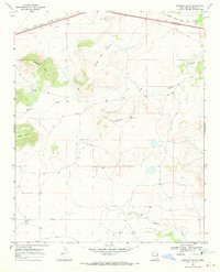
1968 · Quemado Hills
USGS Topo · 1:24,000

1968 · Bulldog Mesa
USGS Topo · 1:24,000
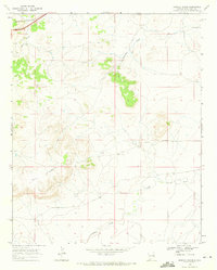
1968 · Briscoe Ranch
USGS Topo · 1:24,000

1970 · Jordan
USGS Topo · 1:24,000
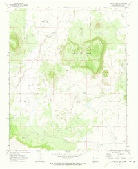
1970 · Circles S Mesa
USGS Topo · 1:24,000