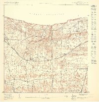
1950 Map of Quebradillas NE
USGS Topo · Published 1950About this map
Quebradillas and its surrounding agricultural barrios overlook the Océano Atlántico on this mid-century coastal survey. The coastline is defined by the American Railroad, which tracks along the northern bluffs through Terranova and Yeguada. This rail corridor was central to the region's connectivity before modern highway expansions, linking coastal settlements with the interior sugar and coffee regions.
Find a feature on this map
19 named features on this map. Tap any name to fly to it.
Don’t see what you’re looking for? This feature index may not catch every label — zoom into the map to look around manually.
Map Details
Editions of this 1950 Quebradillas NE Map
This is the sole edition of this map. No revisions or reprints were ever made.
Other maps of this area

1938 · Camuy
USGS Topo · 1:20,000

1938 · Quebradillas
USGS Topo · 1:20,000

1942 · Camuy
USGS Topo · 1:30,000
1950 · Quebradillas NO
USGS Topo · 1:10,000
1950 · Quebradillas SO
USGS Topo · 1:10,000
1950 · Quebradillas SE
USGS Topo · 1:10,000
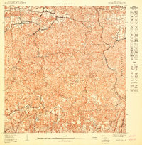
1950 · Camuy SO
USGS Topo · 1:10,000
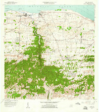
1957 · Camuy
USGS Topo · 1:20,000
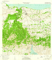
1957 · Quebradillas
USGS Topo · 1:20,000
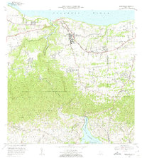
1972 · Quebradillas
USGS Topo · 1:20,000
Featured Places
- Urb. Brisas del Valle, Camuy
- Brisas de la Sabana, Camuy
- Hacienda La Sabana, Camuy
- Villa Ledumerced, Quebradillas
- Sector Damaso Soto, Quebradillas