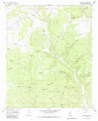
1965 Map of Queens Head
USGS Topo · Published 1984About this map
The Apache National Forest and Gila National Forest converge in this high-altitude livestock and timber landscape of western New Mexico. The 1965 field survey documents a network of critical water infrastructure, including numerous tanks and windmills like Gann Windmill and the Red Windmill, which sustained grazing operations across the high plateaus. The presence of the Jewett Work Center near Jewett Gap underscores the administrative management of these forest lands during the mid-20th century.
Find a feature on this map
85 named features on this map. Tap any name to fly to it.
Don’t see what you’re looking for? This feature index may not catch every label — zoom into the map to look around manually.
Map Details
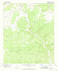
Editions of this 1965 Queens Head Map
2 editions found
Other maps of this area

1915 · Reserve
USGS Topo · 1:125,000

1918 · Reserve
USGS Topo · 1:125,000

1954 · Clifton
USGS Topo · 1:250,000

1954 · Saint Johns
USGS Topo · 1:250,000

1957 · Clifton
USGS Topo · 1:250,000

1957 · Saint Johns
USGS Topo · 1:250,000

1958 · Clifton
USGS Topo · 1:250,000

1958 · Saint Johns
USGS Topo · 1:250,000

1962 · Clifton
USGS Topo · 1:250,000

1962 · Saint Johns
USGS Topo · 1:250,000