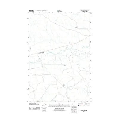
2011 Map of Queens Point
USGS Topo · Published 2011About this map
The Musselshell River winds through this central Montana landscape, defining the topography of Musselshell County near the settlement of Queens Point. This region is characterized by a series of deep drainage features including Finnan Coulee, Cunningham Coulee, and Burnt Shed Coulee, which cut through the high ground north of the river. The presence of the Keene Mine south of the river indicates the area's history of resource extraction, while the Melstone Dam and the Musselshell Ditch County Canal suggest a reliance on managed water systems for local agriculture or ranching.
Find a feature on this map
19 named features on this map. Tap any name to fly to it.
Don’t see what you’re looking for? This feature index may not catch every label — zoom into the map to look around manually.
Map Details
Editions of this 2011 Queens Point Map
This is the sole edition of this map. No revisions or reprints were ever made.
Other maps of this area

1954 · Forsyth
USGS Topo · 1:250,000

1954 · Roundup
USGS Topo · 1:250,000

1957 · Forsyth
USGS Topo · 1:250,000

1958 · Roundup
USGS Topo · 1:250,000

1958 · Forsyth
USGS Topo · 1:250,000

1962 · Queens Point
USGS Topo · 1:24,000

1962 · Melstone NE
USGS Topo · 1:24,000

1962 · Melstone NW
USGS Topo · 1:24,000

1963 · Melstone
USGS Topo · 1:24,000

1963 · Musselshell
USGS Topo · 1:24,000