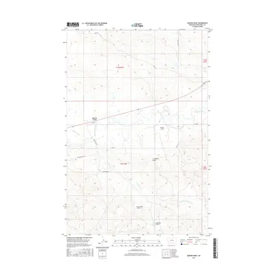
2017 Map of Queens Point
USGS Topo · Published 2017About this map
Queens Point rises above the serpentine course of the Musselshell River, defining the high ground in this section of Musselshell County. The landscape is deeply incised by a network of seasonal drainages, including the evocatively named Burnt Shed Coulee and Angus Bell Coulee. These features, along with Finnan Coulee and Cunningham Coulee, illustrate the complex erosion patterns typical of the Montana plains.
Find a feature on this map
22 named features on this map. Tap any name to fly to it.
Don’t see what you’re looking for? This feature index may not catch every label — zoom into the map to look around manually.
Map Details
Editions of this 2017 Queens Point Map
This is the sole edition of this map. No revisions or reprints were ever made.
Other maps of this area

1954 · Forsyth
USGS Topo · 1:250,000

1954 · Roundup
USGS Topo · 1:250,000

1957 · Forsyth
USGS Topo · 1:250,000

1958 · Roundup
USGS Topo · 1:250,000

1958 · Forsyth
USGS Topo · 1:250,000

1962 · Queens Point
USGS Topo · 1:24,000

1962 · Melstone NE
USGS Topo · 1:24,000

1962 · Melstone NW
USGS Topo · 1:24,000

1963 · Melstone
USGS Topo · 1:24,000

1963 · Musselshell
USGS Topo · 1:24,000