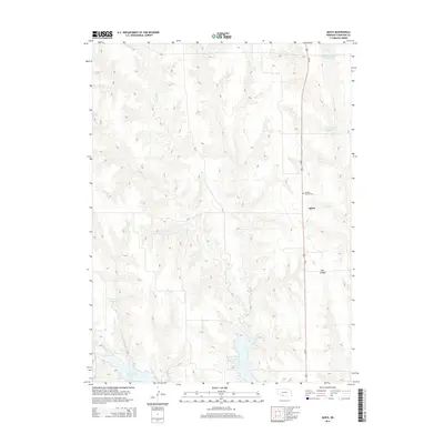
2014 Map of Quick
USGS Topo · Published 2014About this map
The unincorporated community of Quick sits along the Us-83 corridor in Frontier County, representing a characteristic Great Plains agricultural landscape. The surrounding terrain is defined by an intricate network of drainages and seasonal watercourses, including the southward-flowing Spring Cr and the prominent Bee Canyon. To the south, the landscape transitions toward the waters of Hugh Butler Lake, a significant reservoir formed along Red Willow Cr. Local landmarks like the Garden Prairie Cem provide points of interest for genealogists and local historians tracking early settlement patterns in this part of Nebraska. The map also details several smaller agricultural impoundments such as Teel Reservoir Number 1, Teel Reservoir Number 2, and Kaler Reservoir, illustrating the critical role of water management in this prairie environment.
Find a feature on this map
10 named features on this map. Tap any name to fly to it.
Don’t see what you’re looking for? This feature index may not catch every label — zoom into the map to look around manually.
Map Details
Editions of this 2014 Quick Map
This is the sole edition of this map. No revisions or reprints were ever made.
Other maps of this area

1954 · McCook
USGS Topo · 1:250,000

1956 · Curtis SW
USGS Topo · 1:24,000

1956 · Quick NE
USGS Topo · 1:24,000

1956 · Curtis SE
USGS Topo · 1:24,000

1957 · McCook
USGS Topo · 1:250,000

1958 · McCook
USGS Topo · 1:250,000

1970 · Red Willow Dam
USGS Topo · 1:24,000

1970 · Quick
USGS Topo · 1:24,000

1970 · Burger Canyon SE
USGS Topo · 1:24,000

1970 · Quick SE
USGS Topo · 1:24,000