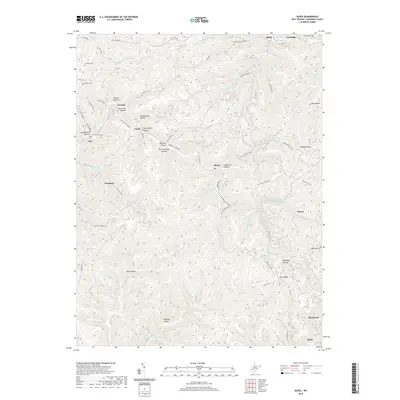
2019 Map of Quick
USGS Topo · Published 2019About this map
The steep terrain of Kanawha County is deeply dissected by drainage systems like Campbells Cr and Witcher Cr, where small settlements occupy the narrow valley floors. In this central West Virginia landscape, villages such as Rensford, Putney, and Blount are reached by winding roads that trace the contours of the numerous hollows, including Slatelick Hollow and Eightmile Hollow. Family and community history is preserved at several hillside burial sites, such as Hunter Cem and Patterson Cem, which overlook the complex network of forks and branches. The southern portion of the map transitions toward more established areas like Mammoth and Ward, illustrating the classic Appalachian pattern of concentrated mountain communities shaped by the proximity of water and accessible coal-bearing geology.
Find a feature on this map
73 named features on this map. Tap any name to fly to it.
Don’t see what you’re looking for? This feature index may not catch every label — zoom into the map to look around manually.
Map Details
Editions of this 2019 Quick Map
This is the sole edition of this map. No revisions or reprints were ever made.
Other maps of this area

1897 · Kanawha Falls
USGS Topo · 1:125,000

1899 · Charleston
USGS Topo · 1:125,000

1900 · Kanawha Falls
USGS Topo · 1:125,000

1901 · Kanawha Falls
USGS Topo · 1:125,000

1907 · Clendenin
USGS Topo · 1:62,500

1908 · Montgomery
USGS Topo · 1:48,000

1909 · Charleston
USGS Topo · 1:62,500

1909 · Clendenin
USGS Topo · 1:62,500

1909 · Peytona
USGS Topo · 1:48,000

1910 · Montgomery
USGS Topo · 1:62,500