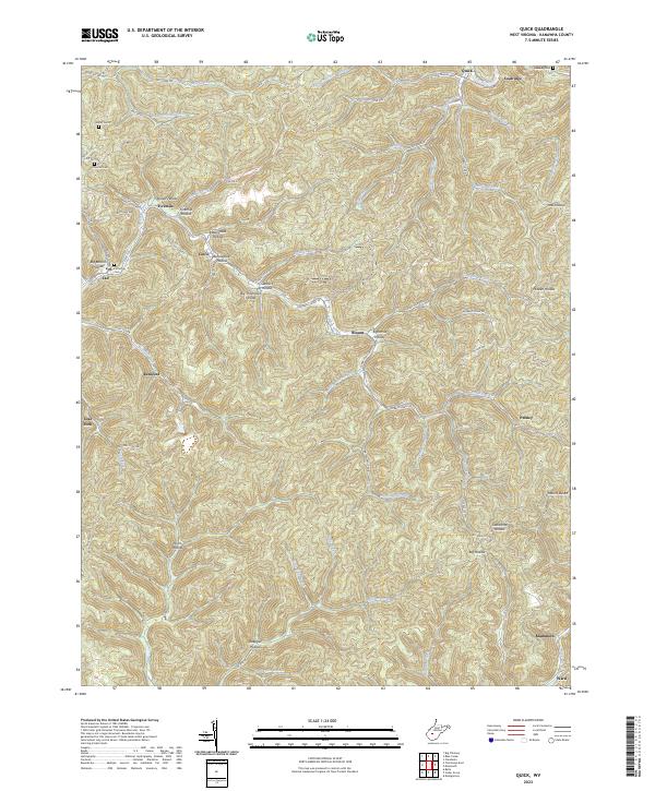
2023 Map of Quick
USGS Topo · Published 2023About this map
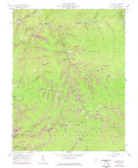
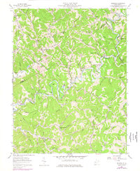
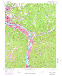
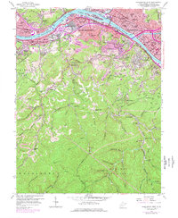
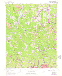
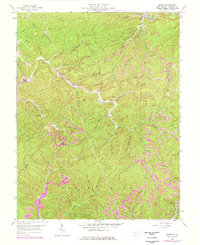
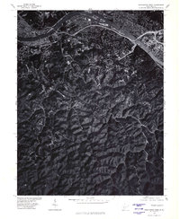
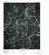
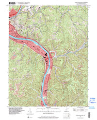
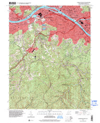
Blue Creek and Mill Creek carve deep valleys through this portion of Kanawha County, defining a landscape dominated by steep hollows and narrow ridge settlements. Small communities like Quick, Coalridge, and Fivemile are connected by winding routes such as Co Rte 48 and Campbells Creek Rd, tracing the natural drainage patterns of the region. The map reveals a dense network of named hollows, including Rattlesnake Hollow, Sprucepine Hollow, and Tackett Hollow, which serve as the primary geographical markers for local inhabitants.
Find a feature on this map
63 named features on this map. Tap any name to fly to it.
Don’t see what you’re looking for? This feature index may not catch every label — zoom into the map to look around manually.
Map Details
Editions of this 2023 Quick Map
This is the sole edition of this map. No revisions or reprints were ever made.
Historical Maps of Rensford Through Time
27 maps found

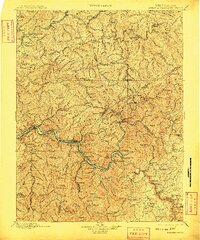
1897 Kanawha Falls
Kanawha County, WV

1900 Kanawha Falls
Kanawha County, WV
1901 Kanawha Falls
Kanawha County, WV
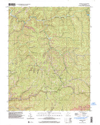
1957 Blue Creek
Kanawha County, WV
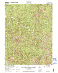
1957 Charleston East
Kanawha County, WV
1957 Mammoth
Kanawha County, WV
1957 Romance
Kanawha County, WV
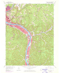
1958 Charleston East
Kanawha County, WV
1958 Charleston West
Kanawha County, WV
1958 Pocatalico
Kanawha County, WV
1958 Quick
Kanawha County, WV
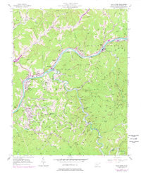
1977 Blue Creek
Kanawha County, WV
1977 Charleston East
Kanawha County, WV
1977 Charleston West
Kanawha County, WV
1977 Pocatalico
Kanawha County, WV

1994 Pocatalico
Kanawha County, WV
1996 Charleston East
Kanawha County, WV
1996 Charleston West
Kanawha County, WV
1996 Mammoth
Kanawha County, WV
2000 Quick
Kanawha County, WV
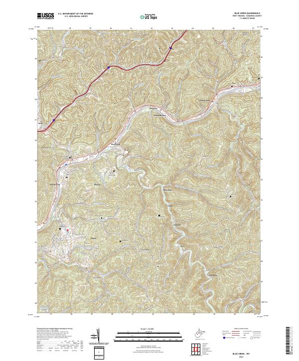
2023 Blue Creek
Kanawha County, WV
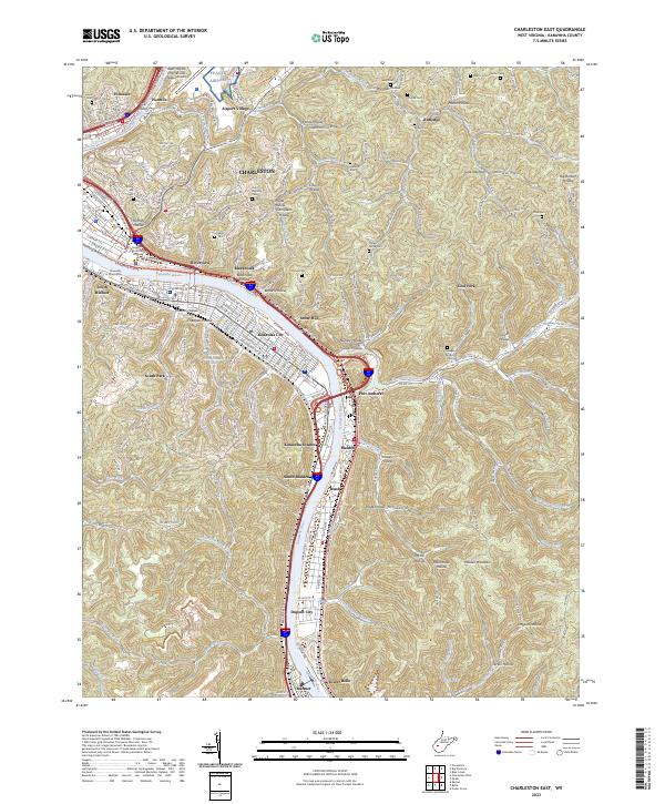
2023 Charleston East
Kanawha County, WV
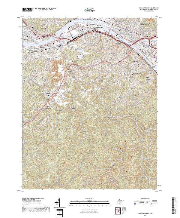
2023 Charleston West
Kanawha County, WV
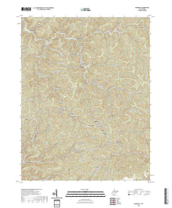
2023 Mammoth
Kanawha County, WV
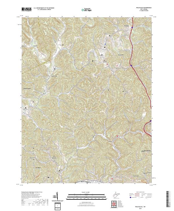
2023 Pocatalico
Kanawha County, WV
2023 Quick
Kanawha County, WV
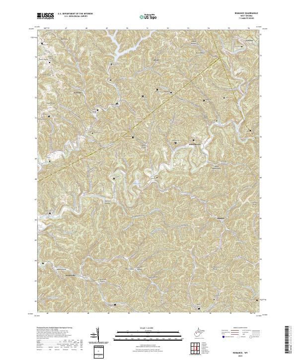
2023 Romance
Kanawha County, WV