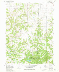
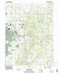
1971 Map of Quincy East
USGS Topo · Published 1973This historical map portrays the area of Quincy East in 1971, primarily covering Adams County. Featuring a scale of 1:24000, this map provides a highly detailed snapshot of the terrain, roads, buildings, counties, and historical landmarks in the Quincy East region at the time. Published in 1973, it is one of 2 known editions of this map due to revisions or reprints.
Find a feature on this map
60 named features on this map. Tap any name to fly to it.
Don’t see what you’re looking for? This feature index may not catch every label — zoom into the map to look around manually.
Map Details
Editions of this 1971 Quincy East Map
2 editions found
Historical Maps of Ewbanks Through Time
11 maps found
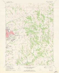
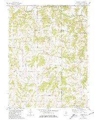
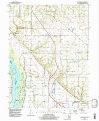
1971 Marblehead
Adams County, IL
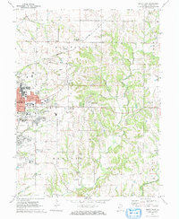
1971 Quincy East
Adams County, IL
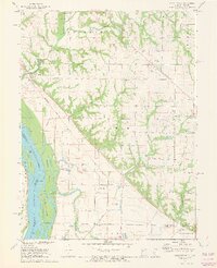
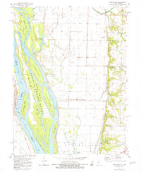
1971 Quincy West
Adams County, IL

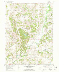
1975 Augusta SW
Adams County, IL
1981 Fishhook
Adams County, IL
1981 Kellerville
Adams County, IL
1981 Long Island
Adams County, IL
1981 Tioga
Adams County, IL
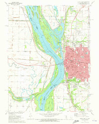
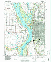
1995 Quincy East
Adams County, IL
1996 Marblehead
Adams County, IL
1996 Quincy West
Adams County, IL