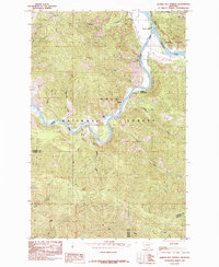
1985 Map of Quinns Hot Springs
USGS Topo · Published 1985About this map
Quinns Hot Springs serves as the primary focal point on this mid-1980s survey, marking a notable geothermal landmark along the winding course of the Clark Fork. The map documents the convergence of two major water systems as the Flathead River joins the Clark Fork in the northeastern corner of the sheet, a confluence that historically influenced regional transport and hydrology. Much of the surrounding landscape is managed by the Lolo National Forest, characterized by steep drainages like Kennedy Creek and Siegel Creek that feed into the river valley.
Find a feature on this map
26 named features on this map. Tap any name to fly to it.
Don’t see what you’re looking for? This feature index may not catch every label — zoom into the map to look around manually.
Map Details
Editions of this 1985 Quinns Hot Springs Map
This is the sole edition of this map. No revisions or reprints were ever made.
Other maps of this area

1956 · Wallace
USGS Topo · 1:250,000

1959 · Tarkio
USGS Topo · 1:62,500

1959 · Perma
USGS Topo · 1:62,500

1959 · Plains
USGS Topo · 1:62,500

1960 · Wallace
USGS Topo · 1:250,000

1960 · Superior
USGS Topo · 1:62,500

1983 · Horsehead Peak
USGS Topo · 1:24,000
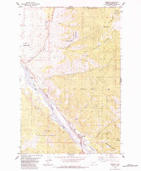
1984 · Paradise
USGS Topo · 1:24,000
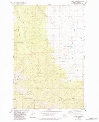
1984 · Sunrise Spring
USGS Topo · 1:24,000
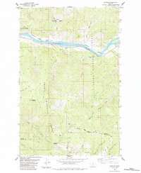
1984 · Knowles
USGS Topo · 1:24,000