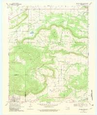
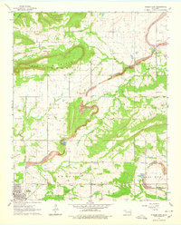
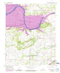
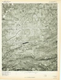
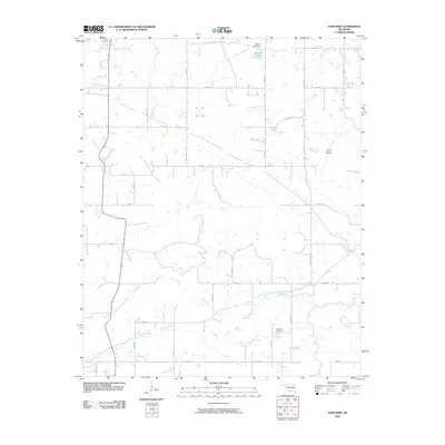
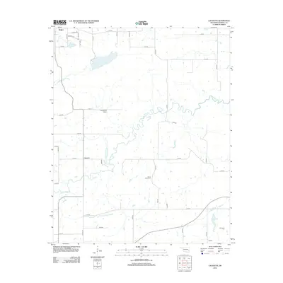
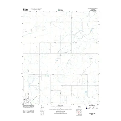
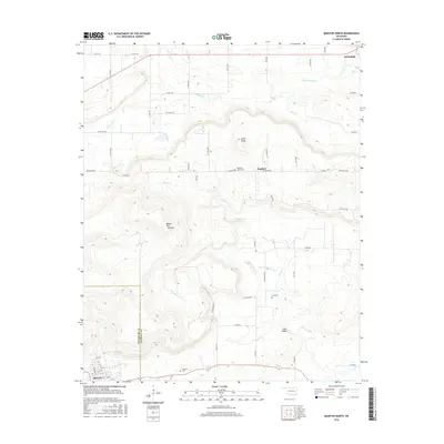
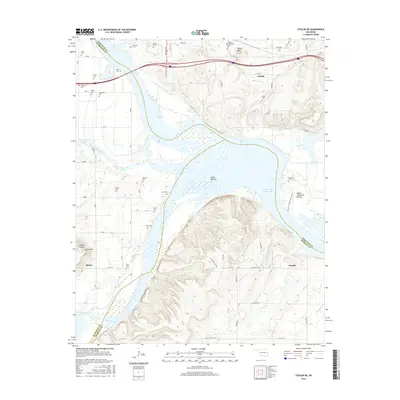
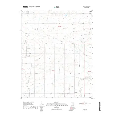
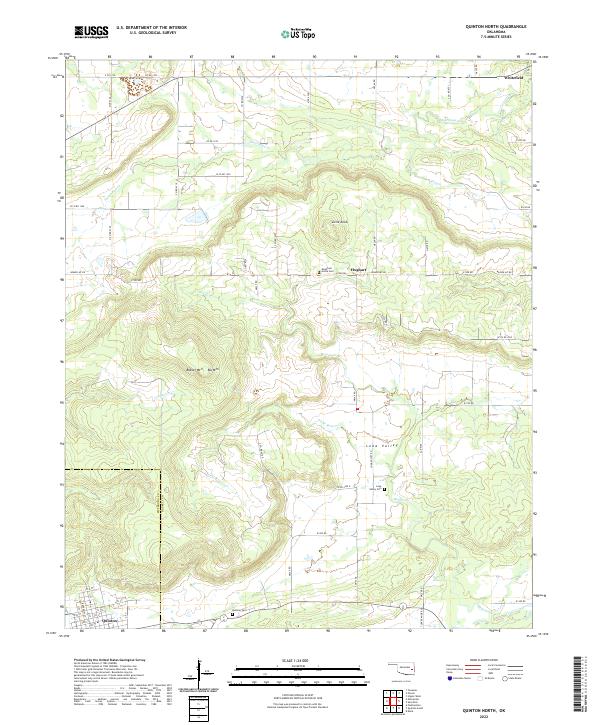
1969 Map of Quinton North
USGS Topo · Published 1982About this map
The town of Quinton and the surrounding borderlands between Haskell and Pittsburg counties are documented here as they appeared in the late 1960s. The landscape is defined by the high ridges of Machire Mountain and Blue Mountain, which separate the agricultural stretches of the Lona Valley from the northern drainages of Emachaya Creek and Elm Creek. Small-scale industry and infrastructure are evident through scattered gas wells, a strip mine in the northeast, and the Ware Farm Landing Field near the northern boundary.
Find a feature on this map
26 named features on this map. Tap any name to fly to it.
Don’t see what you’re looking for? This feature index may not catch every label — zoom into the map to look around manually.
Map Details
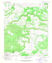
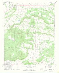
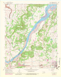
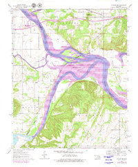
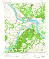
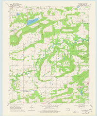
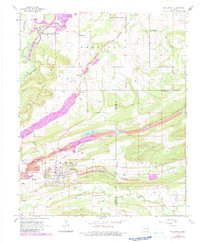
Editions of this 1969 Quinton North Map
3 editions found
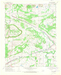
Historical Maps of Quinton Through Time
47 maps found

1909 Sans Bois
Haskell County, OK
1911 Sans Bois
Haskell County, OK
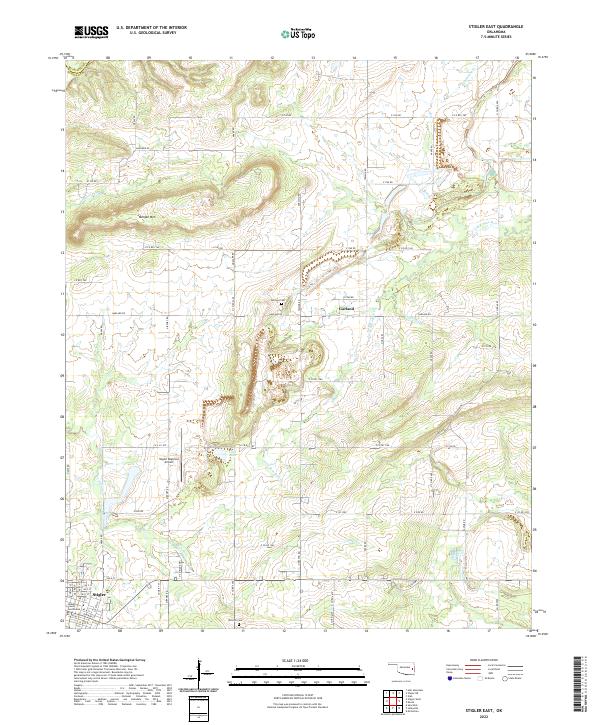
1962 Stigler East
Haskell County, OK
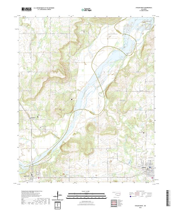
1962 Stigler West
Haskell County, OK
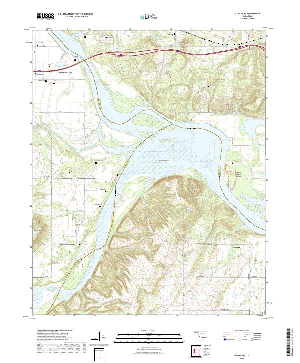
1963 Stigler NE
Haskell County, OK
1964 Stigler NE
Haskell County, OK
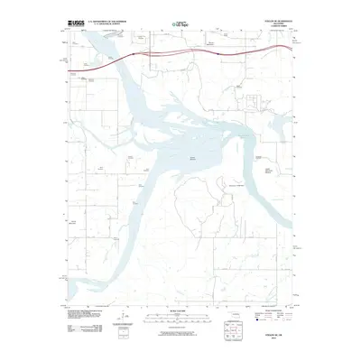
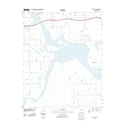
1967 Robert S Kerr Dam
Haskell County, OK
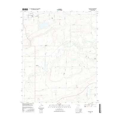
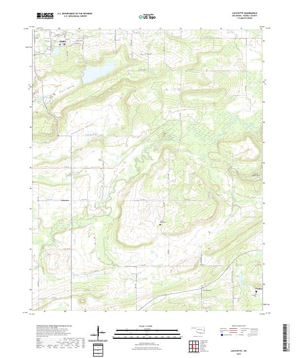
1968 Lafayette
Haskell County, OK
1968 Mc Curtain
Haskell County, OK
1969 Quinton North
Haskell County, OK
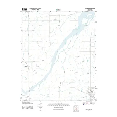
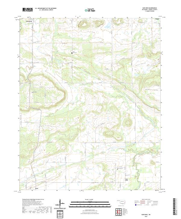
1969 Sans Bois
Haskell County, OK
1977 Mc Curtain
Haskell County, OK
2010 Lafayette
Haskell County, OK
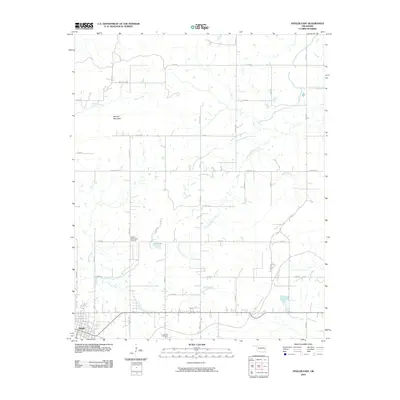
2010 Quinton North
Haskell County, OK
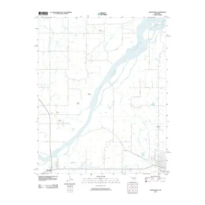
2010 Robert S Kerr Dam
Haskell County, OK
2010 Sans Bois
Haskell County, OK
2010 Stigler East
Haskell County, OK
2010 Stigler NE
Haskell County, OK
2010 Stigler West
Haskell County, OK
2012 Lafayette
Haskell County, OK
2012 Quinton North
Haskell County, OK
2012 Robert S Kerr Dam
Haskell County, OK
2012 Sans Bois
Haskell County, OK
2012 Stigler East
Haskell County, OK
2012 Stigler NE
Haskell County, OK
2012 Stigler West
Haskell County, OK
2016 Lafayette
Haskell County, OK
2016 Quinton North
Haskell County, OK
2016 Robert S Kerr Dam
Haskell County, OK
2016 Sans Bois
Haskell County, OK
2016 Stigler East
Haskell County, OK
2016 Stigler NE
Haskell County, OK
2016 Stigler West
Haskell County, OK
2018 Quinton North
Haskell County, OK
2018 Robert S Kerr Dam
Haskell County, OK
2018 Sans Bois
Haskell County, OK
2018 Stigler East
Haskell County, OK
2018 Stigler NE
Haskell County, OK
2018 Stigler West
Haskell County, OK
2019 Lafayette
Haskell County, OK
2022 Lafayette
Haskell County, OK
2022 Quinton North
Haskell County, OK

2022 Robert S Kerr Dam
Haskell County, OK
2022 Sans Bois
Haskell County, OK
2022 Stigler East
Haskell County, OK
2022 Stigler NE
Haskell County, OK
2022 Stigler West
Haskell County, OK