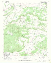
1969 Map of Quinton North
USGS Topo · Published 1971About this map
Quinton serves as the primary settlement hub at the southern edge of this Oklahoma survey, situated along the county line between Haskell and Pittsburg counties. The landscape is dominated by the massive landforms of Beaver Mountain, Machire Mountain, and Broken Mountain, which define the central and northern reaches. The local economy and land use are visibly shaped by extraction, with numerous Gas Wells and a Strip Mine in the northeast corner near Emachaya Creek. Small community centers and rural life are evidenced by the Mountain Home Cemetery near Hughart and landmarks like the Ware Farm Landing Field. The drainage patterns of Beaver Creek and Little Beaver Creek cut through the Beaver Valley, illustrating the rugged topography that historically isolated these highland communities.
Find a feature on this map
26 named features on this map. Tap any name to fly to it.
Don’t see what you’re looking for? This feature index may not catch every label — zoom into the map to look around manually.
Map Details
Editions of this 1969 Quinton North Map
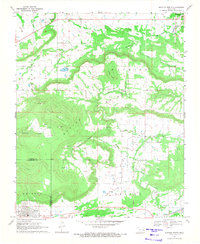
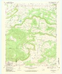
3 editions found
Other maps of this area

1900 · Sansbois
USGS Topo · 1:125,000

1909 · Sans Bois
USGS Topo · 1:125,000

1911 · Sansbois
USGS Topo · 1:125,000

1946 · Fort Smith
USGS Topo · 1:250,000

1962 · Stigler West
USGS Topo · 1:24,000

1963 · Porum
USGS Topo · 1:24,000

1963 · Texanna
USGS Topo · 1:24,000

1965 · Fort Smith
USGS Topo · 1:250,000

1967 · Fort Smith
USGS Topo · 1:250,000
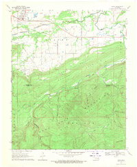
1969 · Kinta
USGS Topo · 1:24,000