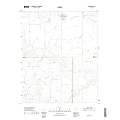
2019 Map of Quitaque
USGS Topo · Published 2019About this map
Quitaque sits at the northern edge of this West Texas landscape, where the town's street grid—including Main St and Jones St—meets the rural expanse of the Caprock region. The terrain is defined by the deep incisions of Quitaque Cr and Los Lingos Cr, which carve through the plains and reveal the complex topography of Pole Canyon and Long Hollow. These drainages serve as natural conduits across the triple-county boundary where Briscoe, Floyd, and Motley counties converge.
Find a feature on this map
54 named features on this map. Tap any name to fly to it.
Don’t see what you’re looking for? This feature index may not catch every label — zoom into the map to look around manually.
Map Details
Editions of this 2019 Quitaque Map
This is the sole edition of this map. No revisions or reprints were ever made.
Other maps of this area

1954 · Plainview
USGS Topo · 1:250,000

1958 · Plainview
USGS Topo · 1:250,000

1967 · Quitaque
USGS Topo · 1:24,000

1967 · Quitaque Peaks
USGS Topo · 1:24,000

1967 · Edgemon Lake
USGS Topo · 1:24,000

1967 · Hay Lake
USGS Topo · 1:24,000

1967 · Flomot
USGS Topo · 1:24,000
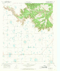
1967 · Wilson Creek
USGS Topo · 1:24,000

1967 · Turkey
USGS Topo · 1:24,000

1967 · Lake Theo
USGS Topo · 1:24,000