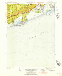
1953 Map of Quonochontaug
USGS Topo · Published 1954About this map
Ninigret Pond and Quonochontaug Pond dominate this coastal survey of Washington County, illustrating a mid-century shoreline defined by narrow barrier beaches and sprawling state reservations. The U S Naval Auxiliary Air Station occupies a significant portion of the Charlestown coastline, its runways adjacent to the quiet waters of Foster Cove. Inland, the landscape transitions from the dense forests of Woody Hill State Reservation and Burlingame State Reservation to small residential clusters like Shelter Harbor and Haversham.
Find a feature on this map
39 named features on this map. Tap any name to fly to it.
Don’t see what you’re looking for? This feature index may not catch every label — zoom into the map to look around manually.
Map Details
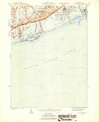
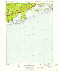
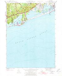
Editions of this 1953 Quonochontaug Map
5 editions found

Other maps of this area

1889 · Stonington
USGS Topo · 1:62,500

1889 · Charlestown
USGS Topo · 1:62,500

1889 · Block Island
USGS Topo · 1:62,500

1893 · Stonington
USGS Topo · 1:62,500

1894 · Block Island
USGS Topo · 1:62,500

1899 · Block Island
USGS Topo · 1:62,500

1904 · Montauk
USGS Topo · 1:62,500

1919 · Charlestown
USGS Topo · 1:62,500

1921 · Charlestown
USGS Topo · 1:62,500

1921 · Stonington
USGS Topo · 1:62,500