
1953 Map of Quonochontaug
USGS Topo · Published 1983About this map
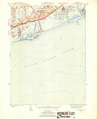
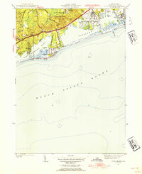
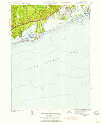
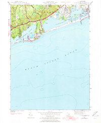
The coastal salt ponds of Washington County define this 1953 survey, which documents the shoreline before modern expansion. Quonochontaug Pond and Ninigret Pond dominate the landscape, separated from the Block Island Sound by the narrow barrier sands of East Beach and Weekapaug Beach. This era shows a mix of established summer colonies and post-war recreational development, including the Drive-In Theater along the Shore Rd and several coastal settlements like Shelter Harbor and Shady Harbor.
Find a feature on this map
45 named features on this map. Tap any name to fly to it.
Don’t see what you’re looking for? This feature index may not catch every label — zoom into the map to look around manually.
Map Details
Editions of this 1953 Quonochontaug Map
5 editions found
Other maps of this area

1889 · Stonington
USGS Topo · 1:62,500

1889 · Charlestown
USGS Topo · 1:62,500

1889 · Block Island
USGS Topo · 1:62,500

1893 · Stonington
USGS Topo · 1:62,500

1894 · Block Island
USGS Topo · 1:62,500

1899 · Block Island
USGS Topo · 1:62,500

1904 · Montauk
USGS Topo · 1:62,500

1919 · Charlestown
USGS Topo · 1:62,500

1921 · Charlestown
USGS Topo · 1:62,500

1921 · Stonington
USGS Topo · 1:62,500