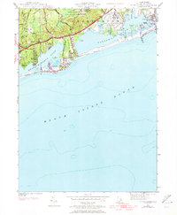
1953 Map of Quonochontaug
USGS Topo · Published 1973About this map
Coastal salt ponds and sandy barrier beaches define this stretch of the Rhode Island shoreline between Westerly and Charlestown. The landscape is dominated by the expansive Ninigret Pond and Quonochontaug Pond, which are separated from Block Island Sound by narrow stretches of sand including East Beach and Quonochontaug Beach. A significant military presence is noted at the U S Naval Reservation, which includes a distinct Landing Strip and auxiliary facilities overlooking Foster Cove. Inland, the terrain rises into the wooded heights of the Woody Hill Management Area and the Burlingame Management Area. Local recreation and mid-century culture are evident through features like the Drive-In Theater near Haversham and a Boys Camp on the shores of Watchaug Pond. Smaller residential clusters such as Shady Harbor and Stevens dot the landscape, connected by the historic Post Road and the Scenic Highway.
Find a feature on this map
49 named features on this map. Tap any name to fly to it.
Don’t see what you’re looking for? This feature index may not catch every label — zoom into the map to look around manually.
Map Details
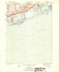
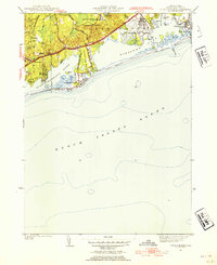
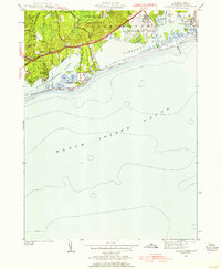
Editions of this 1953 Quonochontaug Map
5 editions found

Other maps of this area

1889 · Stonington
USGS Topo · 1:62,500

1889 · Charlestown
USGS Topo · 1:62,500

1889 · Block Island
USGS Topo · 1:62,500

1893 · Stonington
USGS Topo · 1:62,500

1894 · Block Island
USGS Topo · 1:62,500

1899 · Block Island
USGS Topo · 1:62,500

1904 · Montauk
USGS Topo · 1:62,500

1919 · Charlestown
USGS Topo · 1:62,500

1921 · Charlestown
USGS Topo · 1:62,500

1921 · Stonington
USGS Topo · 1:62,500