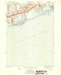
1953 Map of Quonochontaug
USGS Topo · Published 1953About this map
The U S Naval Auxiliary Air Station dominates the coastal landscape between Ninigret Pond and the upland woods of Charlestown in the early 1950s. This period shows a shoreline in transition, where established seasonal communities like Quonochontaug and Shelter Harbor sit adjacent to wartime infrastructure and large public tracts such as the Burlingame Reservation. The map details the complex geography of the Rhode Island coast, from the narrow barrier of East Beach to the intricate coves of the salt ponds.
Find a feature on this map
43 named features on this map. Tap any name to fly to it.
Don’t see what you’re looking for? This feature index may not catch every label — zoom into the map to look around manually.
Map Details
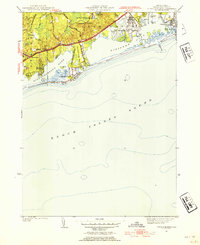
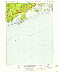
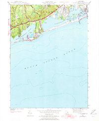
Editions of this 1953 Quonochontaug Map
5 editions found

Other maps of this area

1889 · Stonington
USGS Topo · 1:62,500

1889 · Charlestown
USGS Topo · 1:62,500

1889 · Block Island
USGS Topo · 1:62,500

1893 · Stonington
USGS Topo · 1:62,500

1894 · Block Island
USGS Topo · 1:62,500

1899 · Block Island
USGS Topo · 1:62,500

1904 · Montauk
USGS Topo · 1:62,500

1919 · Charlestown
USGS Topo · 1:62,500

1921 · Charlestown
USGS Topo · 1:62,500

1921 · Stonington
USGS Topo · 1:62,500